Free vs Paid Hiking Trail Maps: Which Should You Use in California?
I get some version of this question constantly: “Do I actually need to pay for a hiking trail map, or is the free stuff good enough?” The honest answer is that the choice between Free vs Paid Hiking Trail Maps depends entirely on what you’re hiking, and most people are either overpaying for a Saturday loop in a well-marked county park or under-prepared for a multi-day trip where a paid map earns its keep.
Disclosure: Please note that some of the links below are affiliate links and at no additional cost to you, I may earn a commission. Know that I only recommend hiking gear I personally stand behind; when you use my affiliate links, it helps me run this blog and keep all of this content free of charge for readers (like you).
There’s also a current wrinkle in this decision that didn’t exist a couple of years ago: the two biggest paid map products used to be sold together, and now they’re not, which changes the math for anyone comparing them. This guide breaks down exactly where the free-vs-paid line sits, and what actually changed.
Key takeaways before we dive in:
- USGS topographic maps are free, but the more detailed, illustrated Forest Service visitor maps usually aren’t.
- Gaia GPS and National Geographic Trails Illustrated are now two separate paid products, not a bundle, a recent change worth knowing before you subscribe expecting both.
- Paid maps earn their price on long, remote, or multi-day trips, not on a well-marked afternoon hike.
- A paper backup is still the standard search-and-rescue recommendation, regardless of which digital option you choose.
Free Options: USGS Topo Maps and Forest Service Maps
Where to Find Free Official Maps
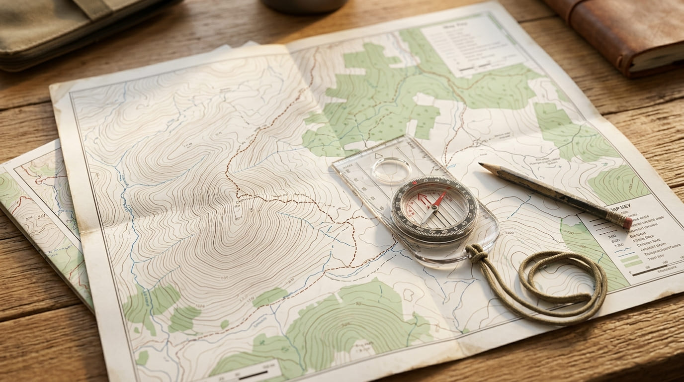
The baseline free option, and a good one, is the U.S. Geological Survey’s topographic map library. The USGS TopoView tool lets you browse and download topographic quadrangle maps for any trail in California at no cost, as geo-referenced PDFs that work offline in apps like Avenza, no login, no catch.
These aren’t old scanned relics either: the newer 25K Recreational Topo series takes this further, front-loading trails, water sources, and campgrounds specifically for people planning trips on foot rather than reading a map built for surveyors.
Every map is delivered with true contour lines and coordinates baked into the file, so it works with a standard compass bearing the same way a paid topo product would.
Separately, the U.S. Forest Service publishes its own visitor maps and guides for every national forest, and its Motor Vehicle Use Maps are free downloads as well, covering exactly which roads and trails are legally open to which type of travel.
Worth being precise here, though: “free Forest Service maps” needs an asterisk. Motor Vehicle Use Maps are free, but the more detailed, illustrated Forest Visitor Maps and National Forest Atlases typically aren’t; expect around $14 for a printed visitor map at a ranger district office, or roughly $5 for the digital version through the Avenza app.
Not expensive, but not the zero-cost baseline people sometimes assume when they hear “government map.”
Limitations of Free Maps
The real gap with free official maps isn’t cost; it’s currency and convenience. USGS topo maps get updated on a slow cycle and won’t reflect a trail reroute from last season, a new junction, or a washed-out bridge from this spring’s storms.
They also don’t carry crowdsourced trail-condition data, recent hiker reports, current water levels, or whether a trailhead parking lot is actually open, the way modern apps do, because there’s no user community feeding data back into a static government PDF.
For a well-established trail that hasn’t changed in years, that gap barely matters. For anything recently affected by fire, flooding, or a reroute, it matters quite a bit. That gap is exactly what paid apps are built to close, and it’s the core differentiator I dig into in our head-to-head comparison of AllTrails, Gaia GPS, and Komoot. To see how these map choices apply to major destinations, our Yosemite trail navigation guide, Joshua Tree National Park trail map guide, Redwood National Park Map & Hiking Guide, Death Valley National Park mapping and logistics guide, and our Emigrant Wilderness trail guide break down the exact brochure, topo, and app layers to carry across diverse terrains.
Paid Options: Gaia GPS Premium and National Geographic Trails Illustrated
What You Get for the Price
These are two separate paid products now, not a bundle, worth knowing since that wasn’t always true. Gaia GPS is now sold through an $89.99/year Outside+ subscription, and it gets you satellite imagery, snow-depth layers, offline downloads, and public land boundary overlays, useful if you’re route-finding off-trail or trying to judge how much snow is still sitting on a Sierra pass in early June.
But as of a recent change, it no longer includes National Geographic’s Trails Illustrated maps as an in-app layer; Gaia announced the partnership’s end directly on its own blog, and the reaction across hiking forums has been pretty blunt disappointment from longtime users who subscribed specifically for that map layer.
If you specifically want those National Geographic Trails Illustrated maps, they’re now their own purchase: physical paper sheets running around $15 each, or per-map digital versions through the Avenza app, not a recurring subscription. That’s a real cost difference if you were hoping one subscription covered both.
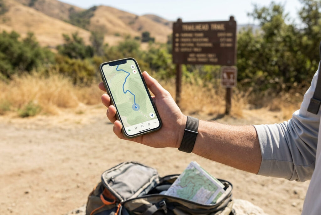
AllTrails sits in its own category too, and it’s worth mentioning here since it’s the app most casual hikers already have installed: free at the base tier, with a $35.99/year Plus tier adding offline maps and wrong-turn alerts, and a $79.99/year Peak tier layering on more advanced route-planning tools on top of that.
Here’s how the main options stack up at a glance:
| Option | Cost | Offline maps | Crowdsourced conditions | Best for |
|---|---|---|---|---|
| USGS / Forest Service (free) | $0 (mostly) | Yes, if pre-downloaded | No | Well-established, well-marked trails |
| AllTrails Plus | $35.99/year | Yes | Yes | Casual to moderate day hikes |
| Gaia GPS Premium (Outside+) | $89.99/year | Yes | Limited | Off-trail routing, snow/satellite layers |
| NatGeo Trails Illustrated | ~$15/map | Per-map (Avenza) | No | Reference-quality paper backup |
When a Paid Map Is Worth It
For a short, well-marked, heavily trafficked day hike, a paid map is overkill; the free option and a phone with a cached screenshot will get you through fine.
Where paid detail actually earns its cost is multi-day, wilderness-permit trips where you’re off well-marked trail for stretches, tracking water sources, or navigating terrain that changes with snowpack; a thru-hike attempt on something like our John Muir Trail planning guide is a good example of the trip type where the extra layers change your planning, not just your convenience.
The dividing line I use personally: if getting the route wrong would cost you more than an annoying backtrack, the paid detail is worth it.
Digital vs. Paper Maps
Why Carrying a Paper Backup Still Matters
Every digital option above shares the same failure mode: it needs a charged, functioning phone. Search-and-rescue professionals consistently recommend a paper map and compass as backup for exactly this reason: phones die faster than expected in cold weather, screens crack, and GPS apps drain battery noticeably faster than idle standby, especially with the screen on for active navigation over several hours.
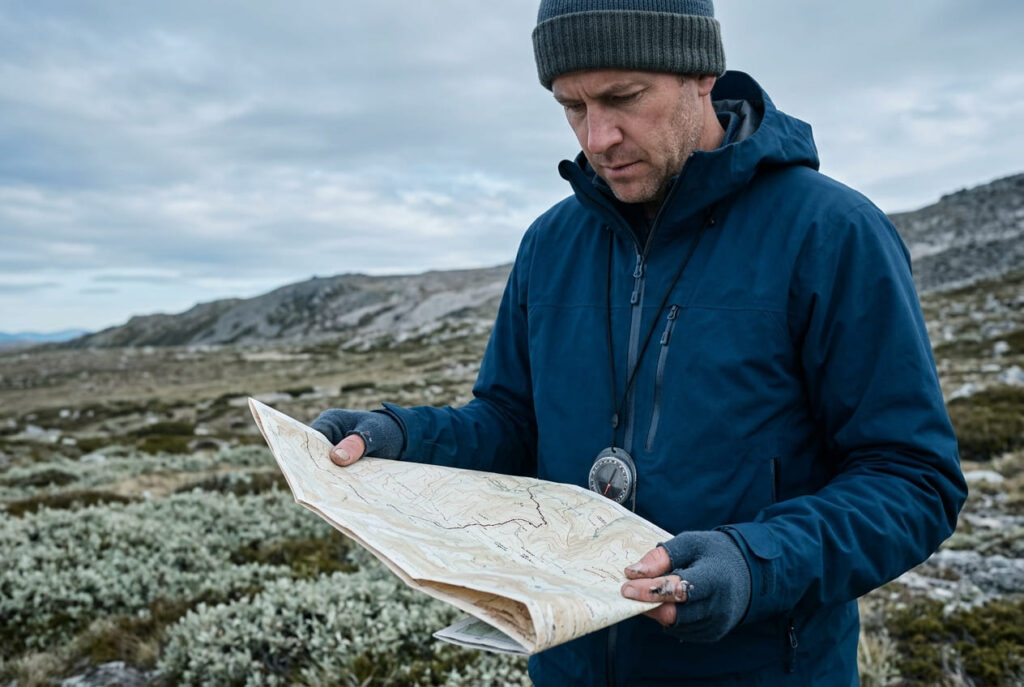
None of that is a reason to skip a good digital map; it’s a reason not to make it your only option. I cover this same principle from the safety side in our guide on what to do if you get lost: a paper backup costs you almost nothing to carry, weighs a few ounces, and doesn’t care about battery percentage, cold weather, or a cracked screen.
If you want to build the skill of reading one properly rather than just carrying it as an unused afterthought stuffed in a pack pocket, our orienteering guide walks through real map-and-compass navigation from the ground up.
The honest bottom line: free maps are fine for the overwhelming majority of California day hikes, and I’d rather you spend that $90 a year on gear you’ll actually use every trip than a subscription you open twice.
Pay for detail when the trip actually demands it: real off-trail routing, real snowpack uncertainty, real multi-day water planning, not by default because a subscription felt like the responsible-hiker thing to do. And carry a paper backup either way; it’s the cheapest insurance policy in your entire kit.
Frequently asked questions about free vs paid hiking trail maps
How do you read a hiking trail map?
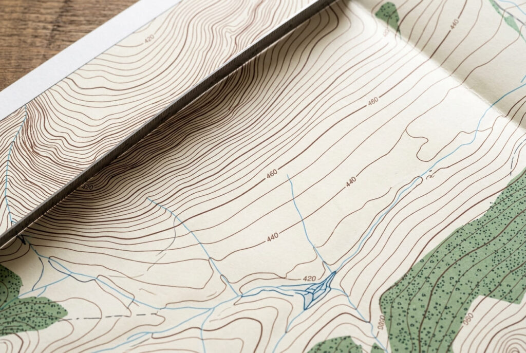
Start with the scale (how much real distance a map inch represents), then the contour lines (closer together means steeper terrain), then the trail markings and legend for water sources, junctions, and mileage markers. Orient the map to match the direction you’re facing before you start moving, using a compass if you have one; most navigation mistakes happen from skipping that last step and just eyeballing it.
What does grade indicate on hiking trail maps?
Visually, grade shows up as contour line spacing: tightly packed contour lines mean a steep grade, and widely spaced lines mean a gentle one. For the full numeric definition of grade as a percentage, our hiking trail glossary covers that in more depth; this is specifically about how to spot it at a glance on a map rather than calculate it precisely.
Where do you get hiking and trail maps used with a compass?
USGS topographic quadrangle maps are the standard choice for map-and-compass navigation, since they’re built at a consistent scale with true contour data, exactly what a compass bearing calculation needs. They’re free to download through USGS TopoView, and printed versions are also sold through the USGS Store if you’d rather have a physical copy in hand.
Is AllTrails a free or paid map source?
Both. AllTrails has a usable free base tier for finding and viewing trails, plus a $35.99/year Plus tier that adds offline maps and wrong-turn alerts, and a $79.99/year Peak tier with more advanced planning tools. Most casual hikers never need to leave the free tier.
Do paid maps work without cell service?
Yes, as long as you’ve downloaded the specific map area in advance while you still had a signal. Both Gaia GPS and AllTrails Plus/Peak support offline downloads that work with zero cell service once cached; the failure mode isn’t the map itself, it’s forgetting to download the area before you lose signal, which happens more often than people expect on a drive up into the mountains.