Briones Regional Park Hiking Guide
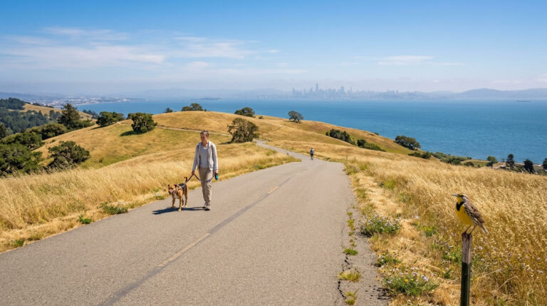
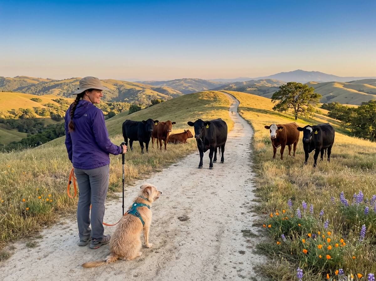
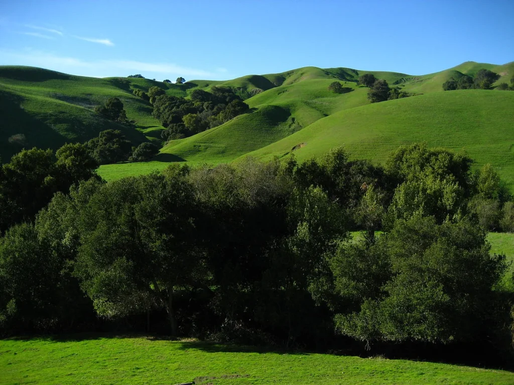
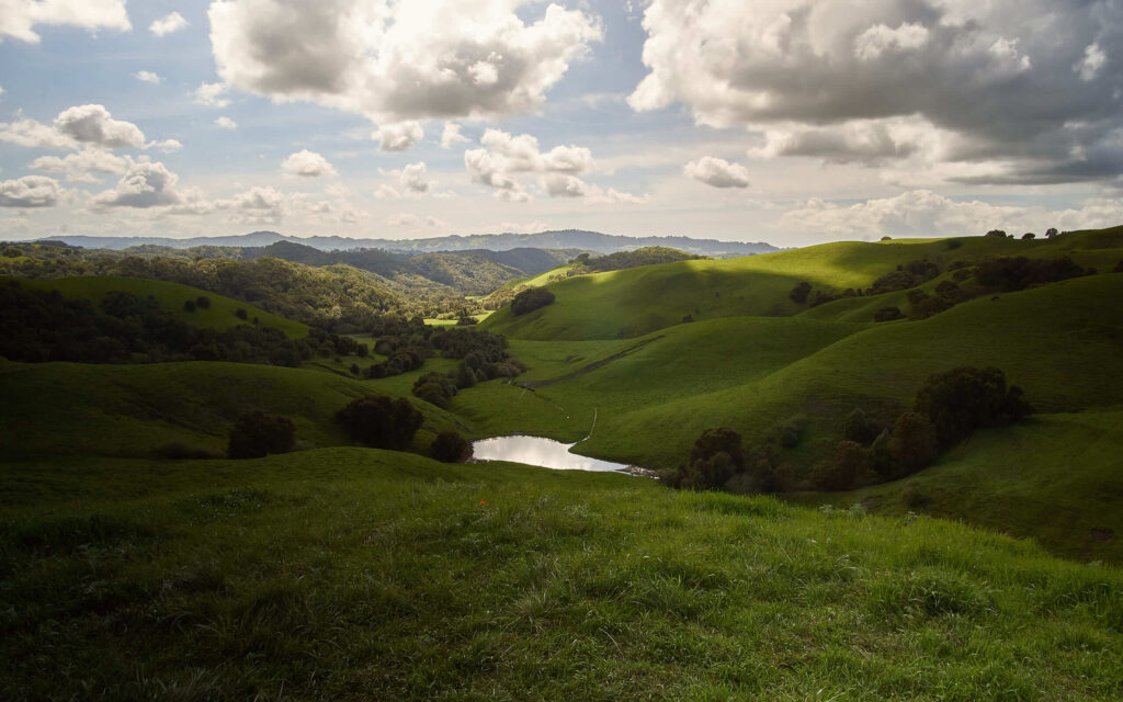
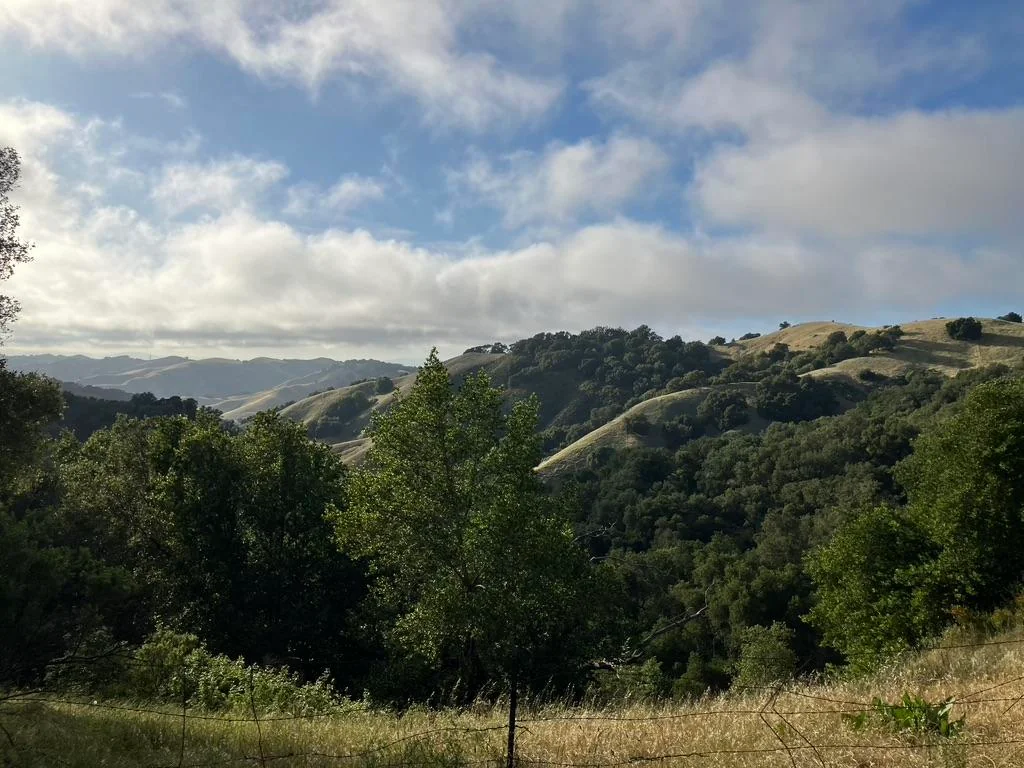
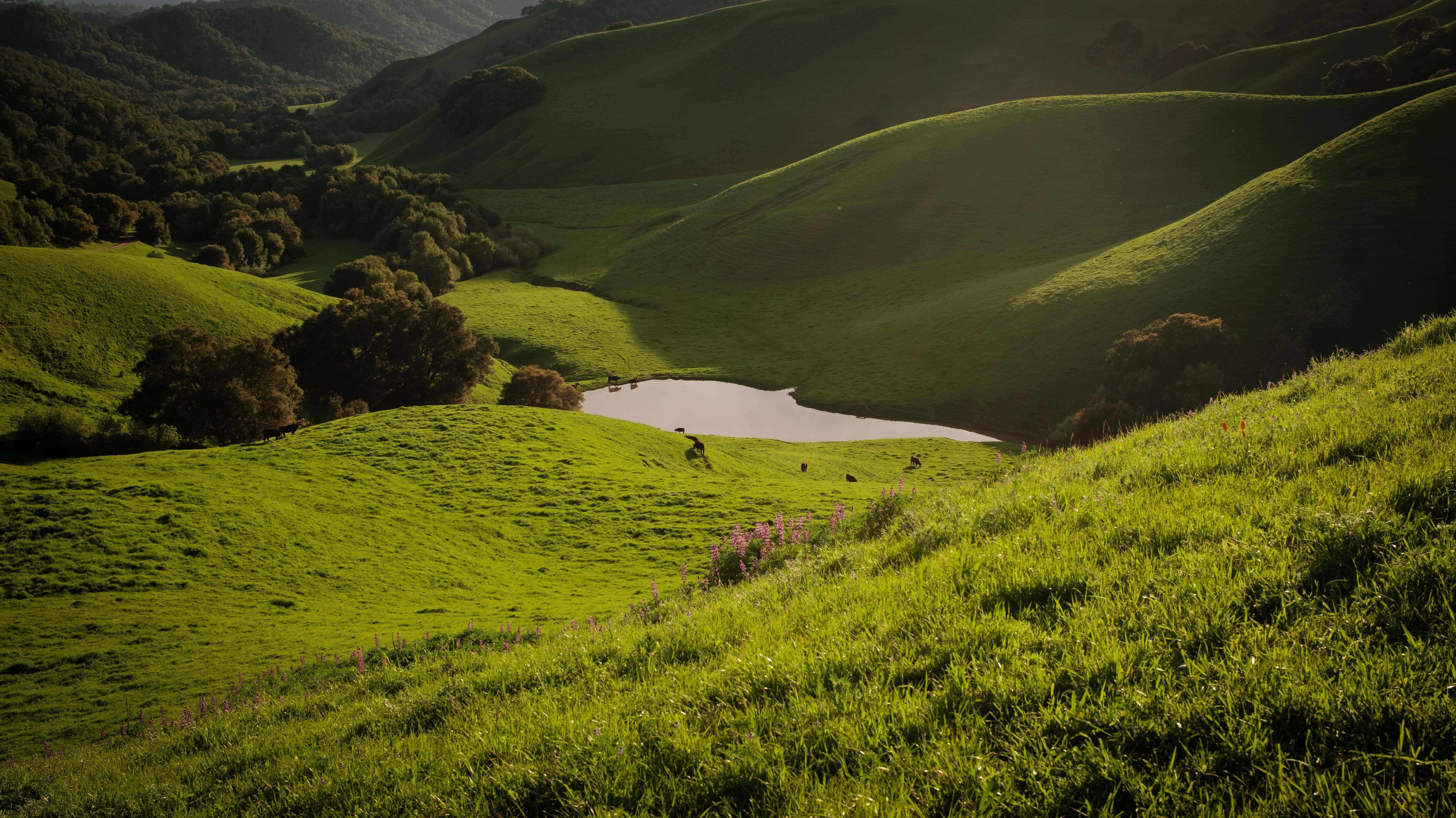
In 1829, a rancher named Felipe Briones built a home near what is now the Bear Creek entrance and let his cattle loose on the grass. Nearly two centuries later, the cattle are still here. They graze the ridges, they stand on the trail like they hold the lease, and they’ve shaped a landscape of rolling golden hills, shaded canyons and oak woodland that EBRPD calls a secret wilderness in the middle of Contra Costa County.
Disclosure: Please note that some of the links below are affiliate links and at no additional cost to you, I may earn a commission. Know that I only recommend hiking gear I personally stand behind; when you use my affiliate links, it helps me run this blog and keep all of this content free of charge for readers (like you).
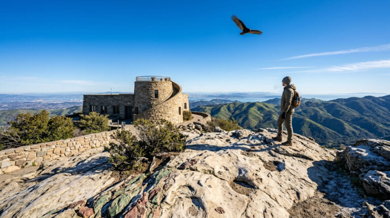
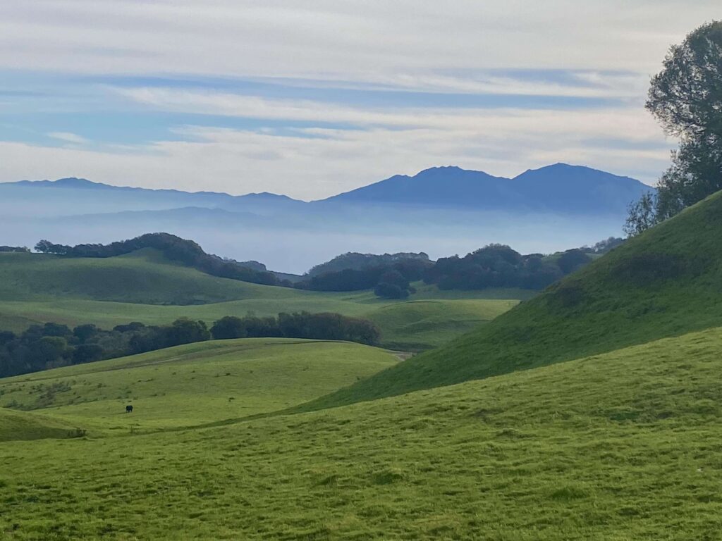
That’s Briones Regional Park, a roughly 6,250-acre East Bay Regional Park District (EBRPD) park between Lafayette, Martinez, Walnut Creek and Pleasant Hill. Its highest point, 1,483-foot Briones Peak, looks across the Delta, Mount Tamalpais and Mount Diablo.
This guide follows the questions you’ll ask in order: which entrance, what it costs, which Briones Regional Park trails fit your day, what the cows expect from you, and what to do about the dog. It’s one of the anchor parks in our Contra Costa County hiking trails guide.
Key Takeaways
- Where: Briones Regional Park, California, in Contra Costa County. The two busiest staging areas are Alhambra Creek (2537 Reliez Valley Road, Martinez) and Bear Creek (1611 Bear Creek Road, Lafayette).
- Hours and cost: Staging areas open at 8 a.m. and close between 5 p.m. in winter and 8 p.m. in summer. Parking is $5 per vehicle when the kiosk is attended, cash only.
- Highest point: Briones Peak, 1,483 feet, with 360-degree views.
- Closures and alerts: As of EBRPD’s October 7, 2026 update, the intersections of Briones Crest Trail with Mott Peak Trail and with Lagoon Trail are damaged but passable with care.
- Dogs: Allowed, but leashes are required on several named trails and wherever cattle graze.
- Connectivity: No public Wi-Fi. EBRPD links a cell coverage map on its park page.
What Makes Briones Regional Park Special?
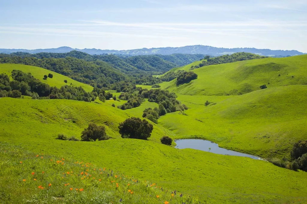
Briones Regional Park, sometimes shortened to Briones Park, sits in the Briones Hills, wrapped by suburbs yet quiet enough that some peaks show only park and watershed land for miles.
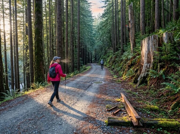
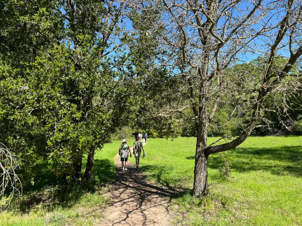
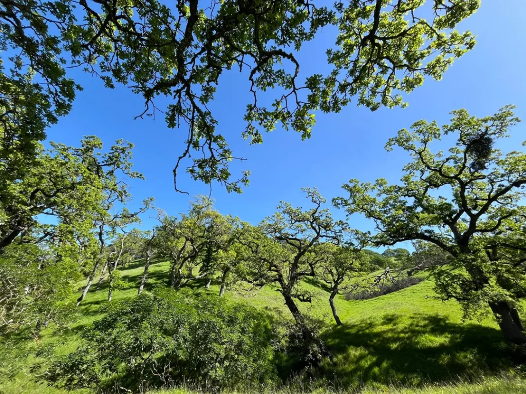
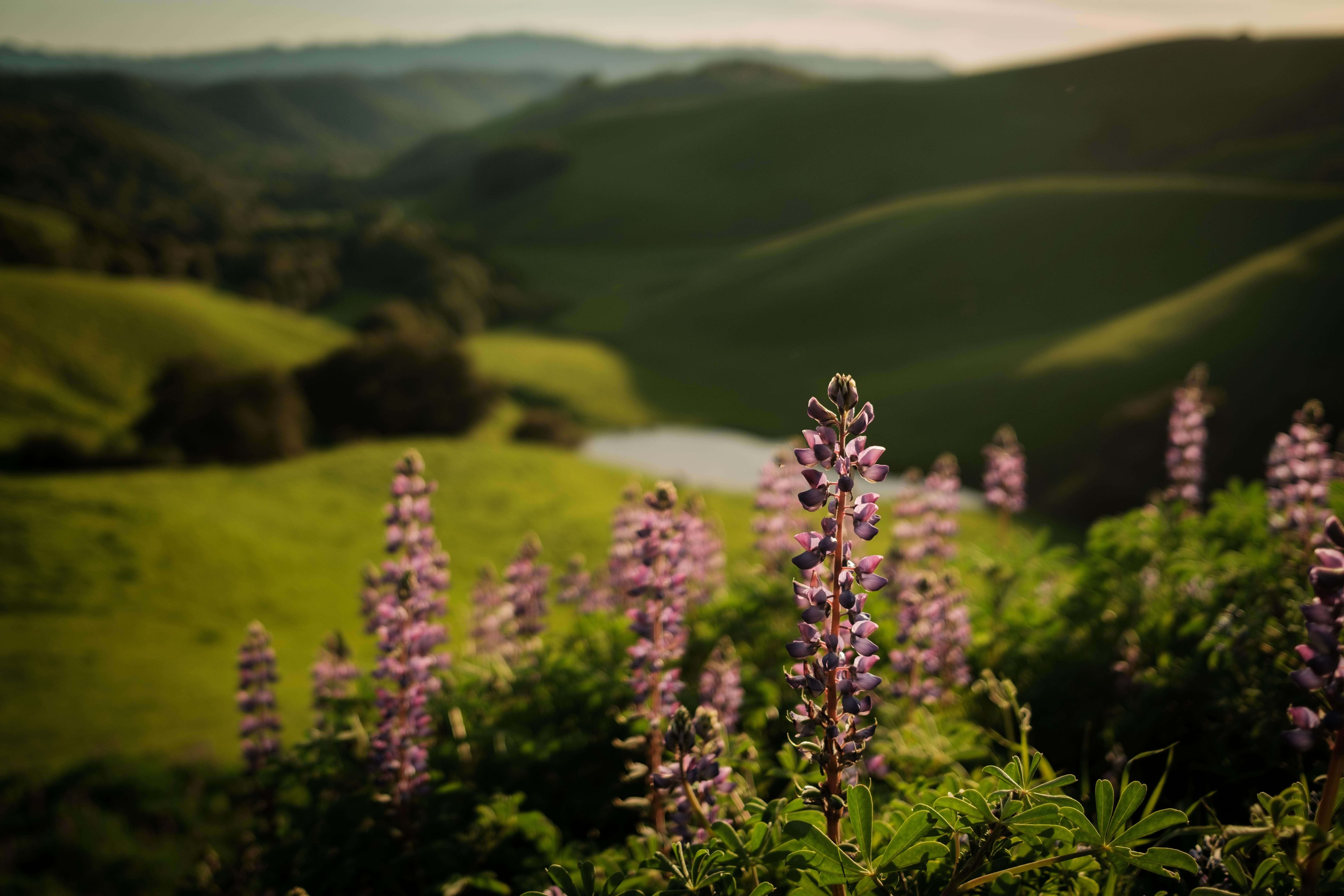
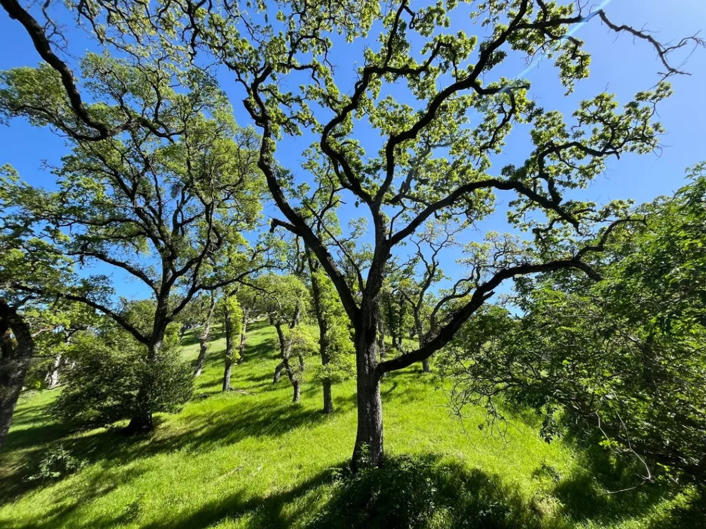
Black-tailed deer, coyotes, red-tailed hawks and turkey vultures are common sights, and EBRPD says wildflower displays arrive in season. Oaks and bay trees shelter the canyons, while the ridges stay open, grassy and exposed.
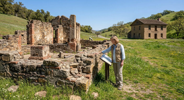
The land has a long paper trail. Most of Briones Regional Park was once part of Rancho Boca de la Cañada del Pinole, popularly known as Rancho San Felipe. After Felipe Briones’s death, his widow, María Manuela Valencia Briones, petitioned Governor Alvarado for a grant, and the three-square-league grant was issued in June 1842.
In the 1850s and 1860s, Alhambra Valley turned into orchards and vineyards. In 1906, the People’s Water Company began buying land for watershed protection, and the East Bay Municipal Utility District acquired it in 1916 and built San Pablo Dam in 1923.
The park opened in 1967. EBRPD also notes that naturalist John Muir, a resident of nearby Martinez, hiked these hills in the late nineteenth century.
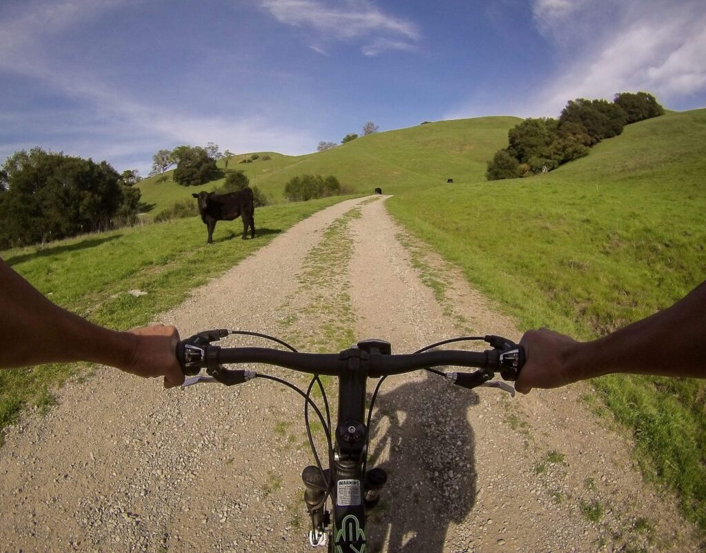
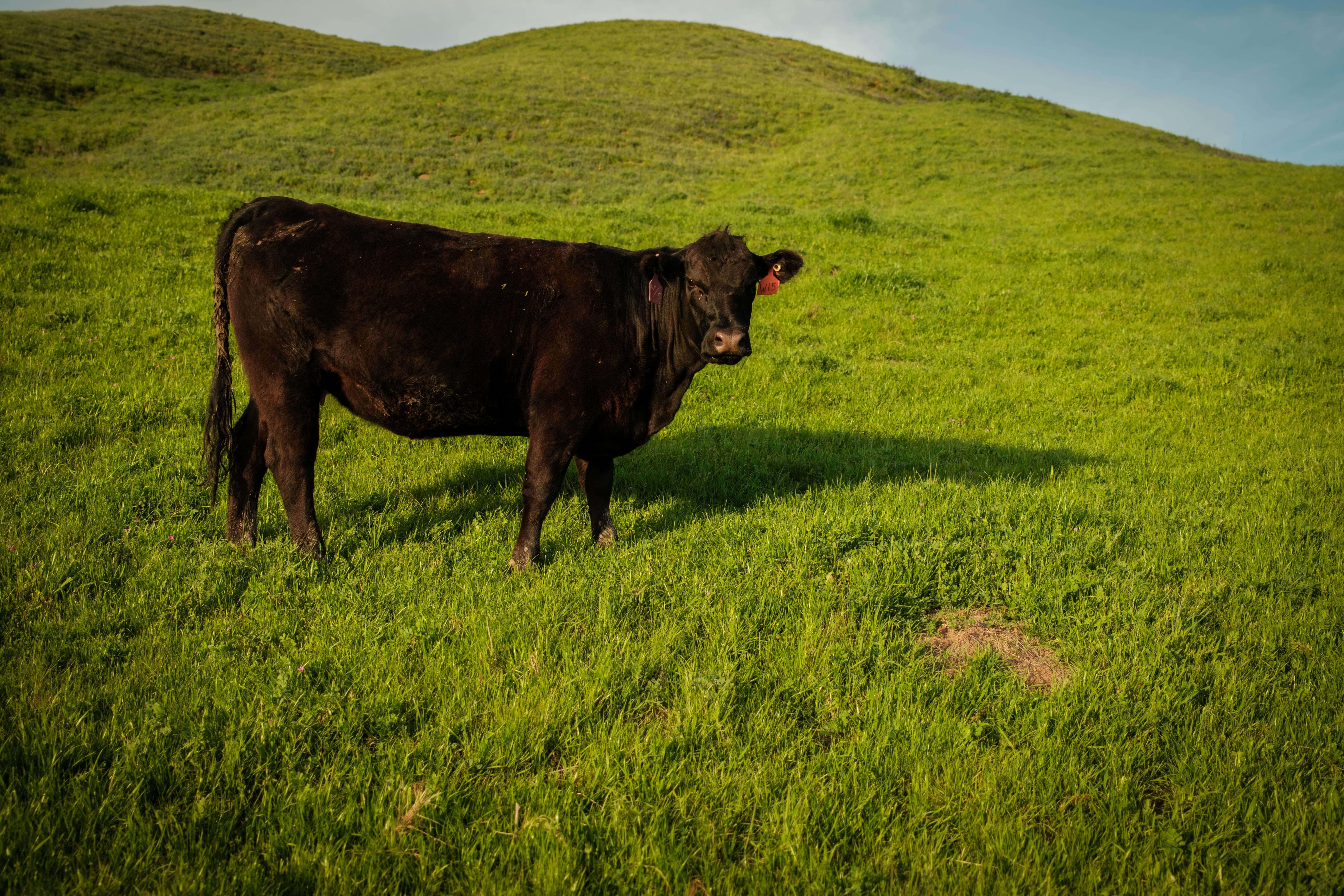
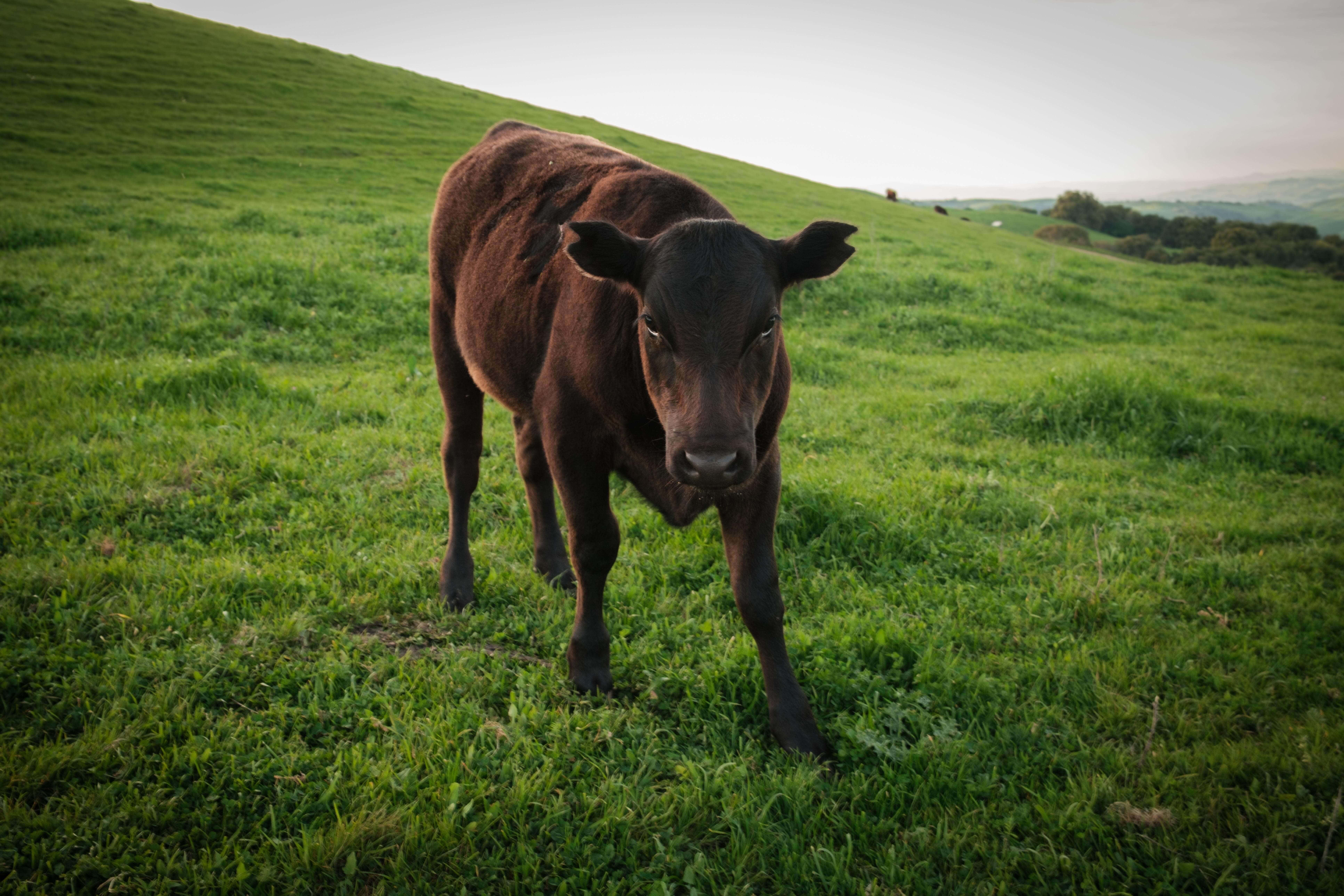
Cattle remain part of the picture. EBRPD lists cows and calves in the Tabletop, Spengler, Blue Oak, Buckeye, Sunrise and Lafayette Ridge trail areas, and yearlings in the Deer Creek, Pereirra, Valley and Briones Crest areas. Grazing is a management tool here, and it’s the reason leash rules matter.
Getting to Briones Regional Park, CA: Entrances, Parking and Fees
EBRPD lists five staging areas: Alhambra Creek, Bear Creek, Briones Road, Reliez Valley and Lafayette Ridge, plus several walk-in entrances from neighborhoods. The two most developed are Alhambra Creek, off Reliez Valley Road near Martinez, and Bear Creek, near Lafayette and Orinda.
For Alhambra Creek from Highway 24 eastbound, take exit 14B for Pleasant Hill Road, keep left at the fork, turn left onto Reliez Valley Road, and drive almost five miles before turning left into the staging area. From Highway 4, take exit 9 for Alhambra Avenue toward Martinez, follow Alhambra Valley Road, then turn left onto Reliez Valley Road.
Parking is $5 per vehicle when the kiosk is attended, and EBRPD says Briones accepts cash only. The Alhambra and Bear Creek staging areas run on seasonal hours: 8 a.m. to 5 p.m. in January, 8 a.m. to 8 p.m. from April 11 to September 5, and back to 5 p.m. from November 7 through December. The parking lot closes at sunset.
There’s no public Wi-Fi in the park. For current alerts, hours and fees, check EBRPD’s Briones Regional Park page before you drive over. If you’re new to junction-heavy parks, our guide on how to read a California hiking trail map is a useful primer, because Briones has dozens of trails and a lot of forks.
Briones Regional Park Closures and Weekend Rules
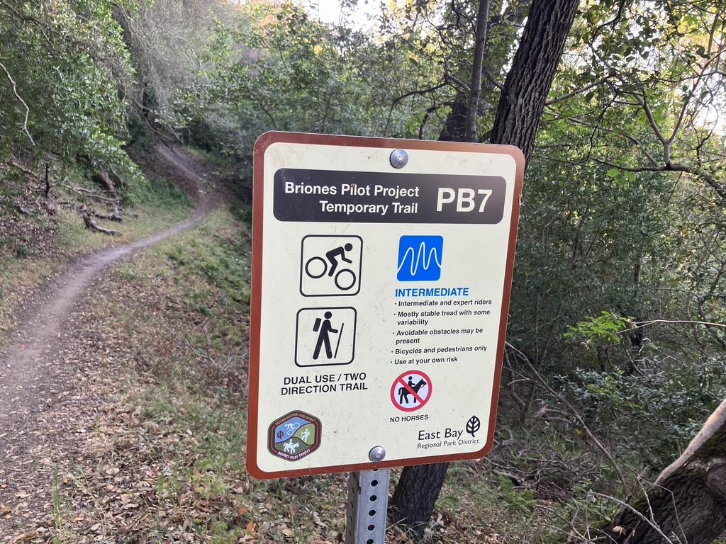
Check two things before you pick a route. First, EBRPD’s October 7, 2026 notice says the intersections of Briones Crest Trail with Mott Peak Trail and with Lagoon Trail are damaged but passable with care, with barricades and cones posted at both ends of the fire trail. Second, the Briones Special Management Area, a 1,600-acre zone in the northeast part of the park, has its own rules.
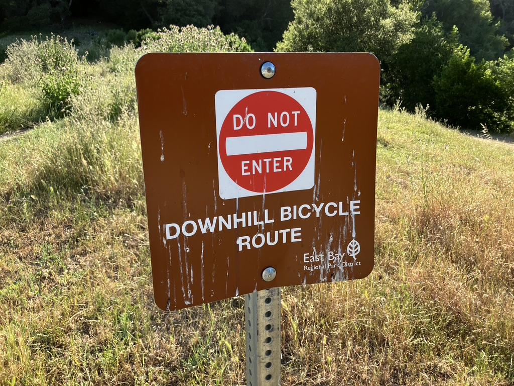
Hikers can enter the Special Management Area seven days a week and use trails that allow hiking. Some trails are hiking only, some are hiking and biking only, and some are downhill-only bike trails that hikers and equestrians can’t use at any time.
On weekends, bikes and equestrians alternate by calendar date: bikes aren’t allowed on even-numbered weekend days, and horses aren’t allowed on odd-numbered ones.
See the Special Management Area page for the map, and our guide to California hiking trail closures for how to check conditions before you drive. EBRPD also warns that some Briones trails become muddy and impassable in the rainy season.
Best Briones Regional Park Trails
The park has dozens of trails, and published routes vary widely in length. These are the best-documented, with distances from EBRPD where available and published route descriptions elsewhere.
| Route | Distance | Level | Starts at |
|---|---|---|---|
| Lagoons loop (Alhambra Creek, Spengler, Old Briones Road, Briones Crest, Lagoon, Toyon Canyon, Orchard) | 5.07 mi | Moderate | Alhambra Creek |
| Briones Peak loop | About 5.5–8.4 mi | Moderate | Alhambra Creek |
| Mott Peak via Abrigo Valley | About 4.3–4.6 mi | Moderate | Bear Creek |
| Briones Crest Trail loop | About 7.75 mi | Strenuous | Bear Creek |
The Lagoons Loop: EBRPD’s Featured Route
If you only pick one hike, let EBRPD pick it. From the Alhambra Creek Staging Area, follow the Alhambra Creek Trail, go right onto the Spengler Trail, bear left onto Old Briones Road Trail, then onto the Briones Crest Trail, north on the Lagoon Trail, and back via Toyon Canyon Trail and Orchard Trail.
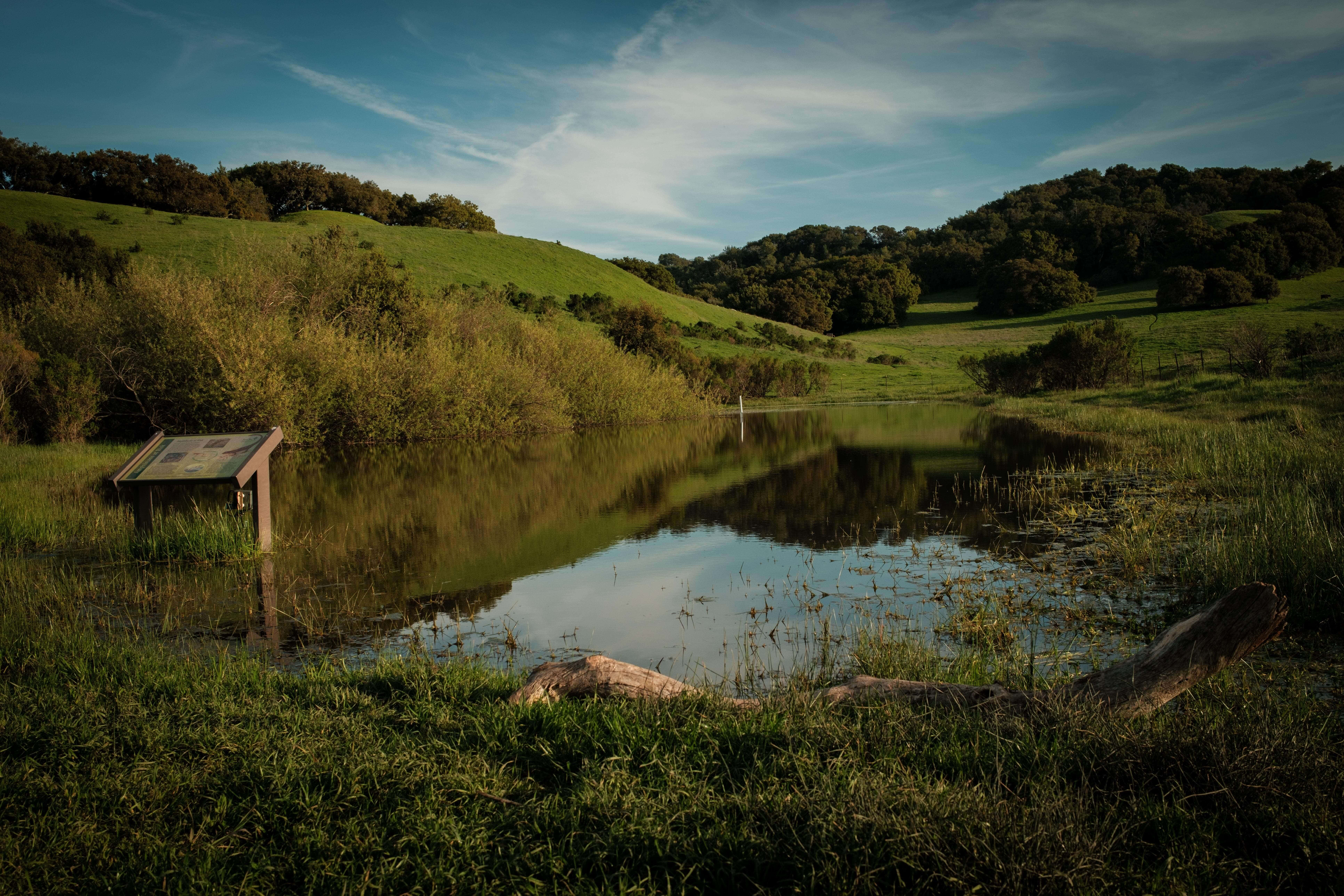
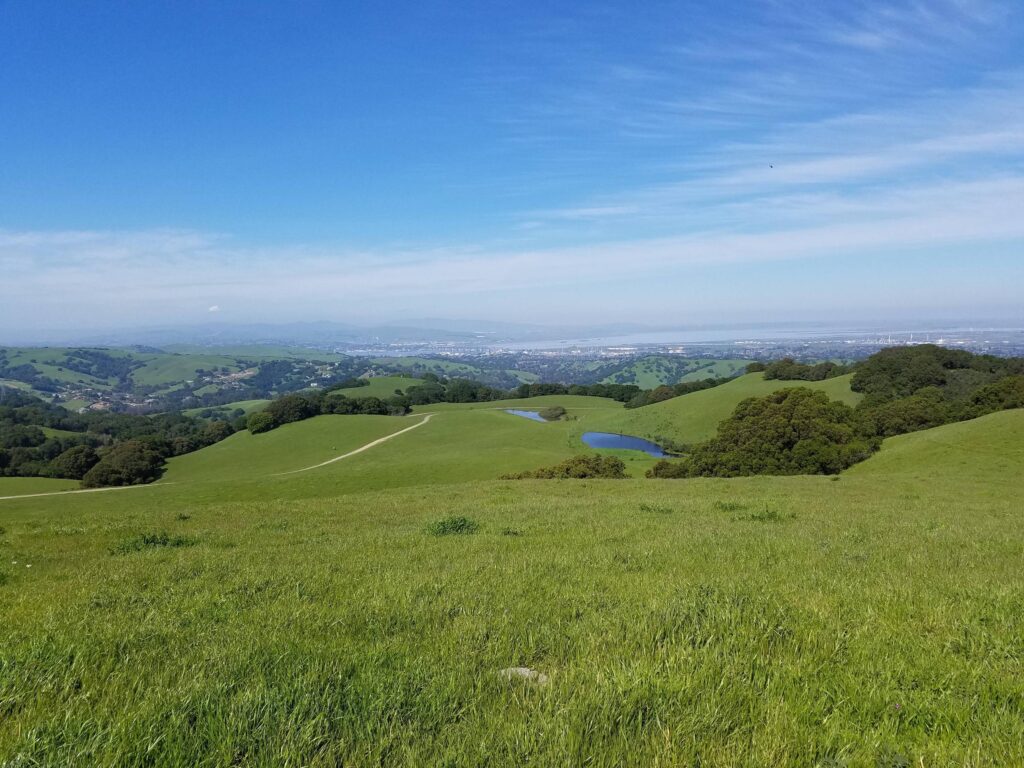
The 5.07-mile loop has about 500 feet of climbing and descent and passes Maricich and Sindicich Lagoons, where each of the two ponds attracts birds, amphibians and insects, and spring wildflowers draw hikers. Because the loop touches the Briones Crest/Lagoon intersection, read the damage alert first.
Briones Peak: The 360-Degree Payoff
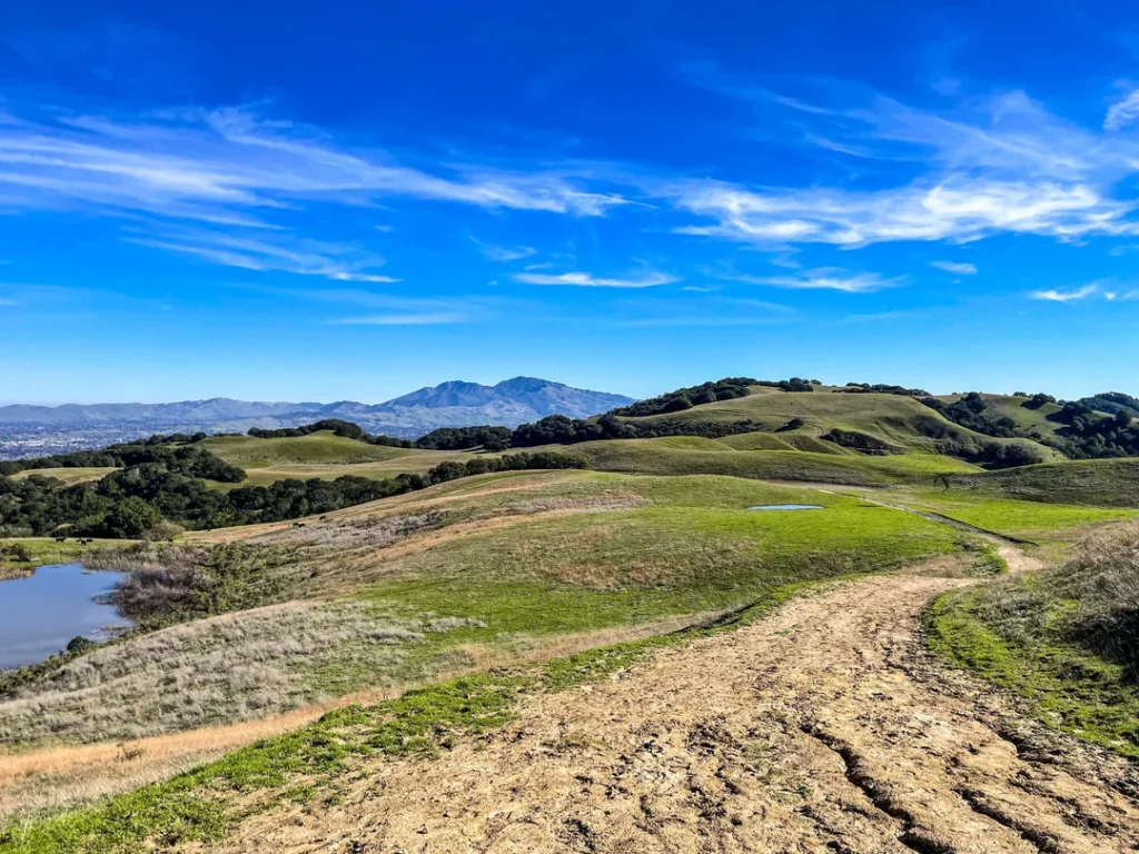
Briones Peak is the park’s high point at 1,483 feet. From the summit, EBRPD says, you can see the California Delta, Mount Tamalpais, Mount Diablo and Las Trampas Regional Wilderness.
One published loop from Alhambra Creek uses the Alhambra Creek, Spengler, Briones Crest and Diablo View trails, with a short spur to the bench that marks the top.
Published versions run from about 5.5 to 8.4 miles, and the longest lists roughly 1,300 feet of elevation gain, so check a route’s total before you commit. Bring water: most of the way is open and exposed.
Mott Peak: Fewer Feet, Better Views
Mott Peak is about 60 feet lower than Briones Peak and completely exposed, so the views are often more open. One popular route starts at Bear Creek, climbs Abrigo Valley to the Briones Crest, summits Mott Peak, drops past Sindicich Lagoons, and returns on Old Briones Road Trail, about 4.3 to 4.6 miles.
It’s a good choice for a half day. The Mott Peak intersection with Briones Crest Trail is in the damage alert, so go carefully.
Briones Crest Trail: The Ridge Marathon
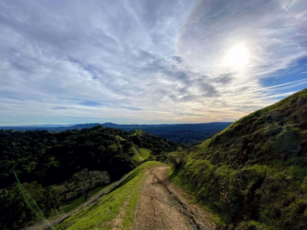
For a full day, the Briones Crest Trail loop from Bear Creek runs about 7.75 miles. It takes the Seaborg Trail up to the crest, bears north to Briones Peak, west to Mott Peak and Sindicich Lagoons, then follows a final ridgeline back down to Bear Creek. It’s strenuous and mostly exposed.
Lafayette Ridge Trail
The Lafayette Ridge Trail runs about 2 miles along the ridge parallel to the city of Lafayette. It starts at the Lafayette Ridge Staging Area and links to longer routes, including a longer hike that reaches Russell Peak.
Dogs, Bikes, Horses and Cattle Etiquette
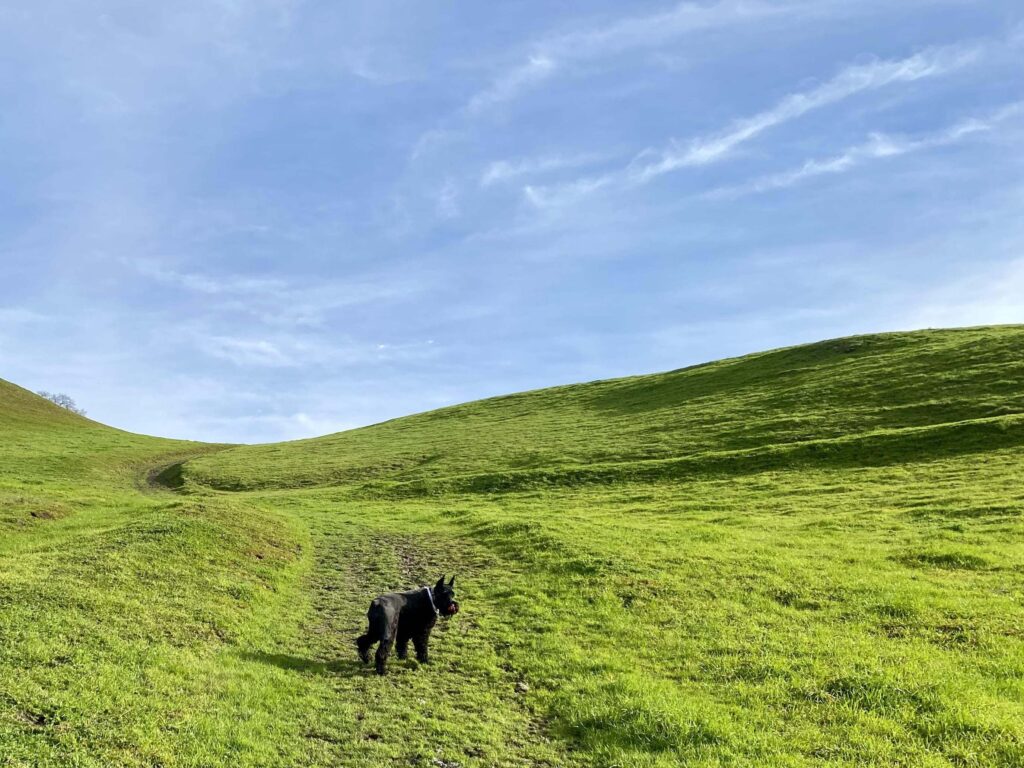
Dogs must be on a six-foot leash at all times on the Tavan Trail, on the Diablo View Trail between Alhambra Creek Trail and Hidden Pond Trail, on the Alhambra Creek Trail from the Alhambra Creek Staging Area south to the water trough, and on the Orchard Trail between Alhambra Creek Trail and the Briones Road gate.
EBRPD also requires leashes in parking lots, within 200 feet of any trail or entrance, in picnic areas, and wherever grazing animals are present, so with cattle on most ridges, leash up. Our hiking with dogs in California guide has more on the rules.
Bicycles are allowed on designated trails only. Horses have the right of way on trails, and state law requires bicyclists under 18 to wear helmets. Smoking, drones, feeding wildlife and wading or swimming in undesignated areas are prohibited. Give cows room and keep dogs leashed around them.

Picnics, Group Camping and the Archery Range
Bear Creek and Alhambra Creek have first-come, first-served picnic sites with tables and barbecues, and Bear Creek offers reservable group areas: Oak Grove (50 people) and Newt Hollow (150). Crow, with a capacity of 50, is at Alhambra Creek.
EBRPD lists three group campsites, ranging from 50 to 300 campers, with a minimum of 17 people and required reservations. The Briones Archers range is reached off the Crescent Ridge Trail from the Bear Creek entrance.
When Is the Best Time to Visit Briones Regional Park?
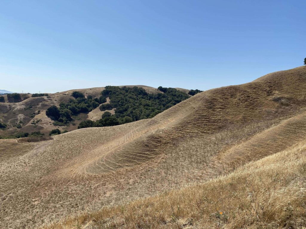
Spring is wildflower season, and EBRPD calls the lagoon loop a fun trip year round. In summer, most trails are exposed, so start early and carry extra water; our weather hazards guide explains how to plan for heat. After storms, expect mud, and check for closures.
For a flower-focused day, see our guide to the best hiking trails in California for spring wildflowers, and for views like Briones Peak’s, our list of the best hiking trails for mountain views.
Where to Go Next After Briones Regional Park
The Mount Diablo you see from Briones Peak has its own trail guide: our guide to the best hiking trails on Mount Diablo.
For more county parks, see our regional park hiking trails in Contra Costa County guide. Across the hills in Alameda County, the Reinhardt Redwood Regional Park hiking guide covers another EBRPD park with redwoods. For another nearby East Bay watershed experience, explore the Wildcat Canyon Regional Park hiking guide. For the whole county, return to the Contra Costa County trail guide.
Final Recommendation
Here’s the honest version: with two hours, take EBRPD’s Lagoons loop and watch the damage alert at the Lagoon intersection. With a half day, hike to Briones Peak from Alhambra Creek and sit on the bench at the top. With a full day and plenty of water, link the crest trails from Bear Creek and add Mott Peak. Bring cash for the kiosk, and respect the cows. They were here first.
Frequently Asked Questions About Briones Regional Park
How much does it cost to park at Briones Regional Park?
Parking is $5 per vehicle when the kiosk is attended, with the same fee per trailered vehicle and $25 per bus. EBRPD says Briones accepts only cash.
Are dogs allowed at Briones Regional Park?
Yes, with leash rules. A six-foot leash is required on the Tavan Trail, on parts of the Diablo View, Alhambra Creek and Orchard trails, and anywhere cattle graze.
How long is the hike to Briones Peak?
Published loops from Alhambra Creek range from about 5.5 to 8.4 miles, with roughly 1,300 feet of elevation gain on the longest. The summit is 1,483 feet.
What are the park hours?
Alhambra Creek and Bear Creek staging areas are open 8 a.m. to between 5 and 8 p.m., depending on the season. The parking lot closes at sunset.
Can you camp at Briones Regional Park?
Briones offers group camping. EBRPD lists three group campsites for 50 to 300 campers, with a minimum of 17 people and reservations required.
What’s the Briones Special Management Area?
A 1,600-acre zone in the northeast part of the park with trail-use rules for hikers, bikers and equestrians. Hikers can use it every day, but bike-only trails are off limits to hikers.