Point Reyes Hiking & Alamere Falls Guide
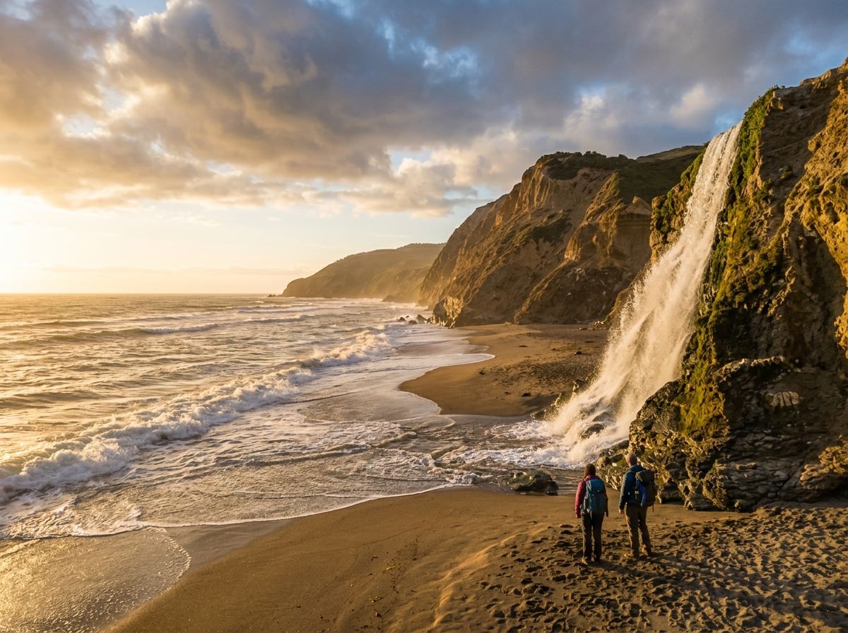
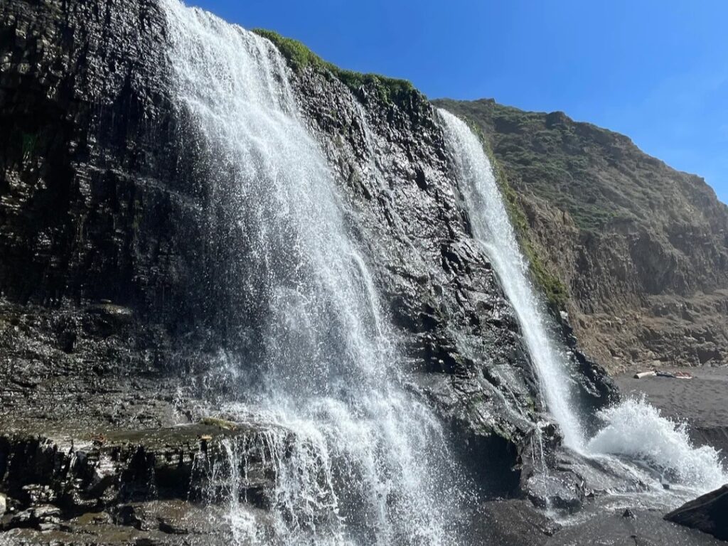
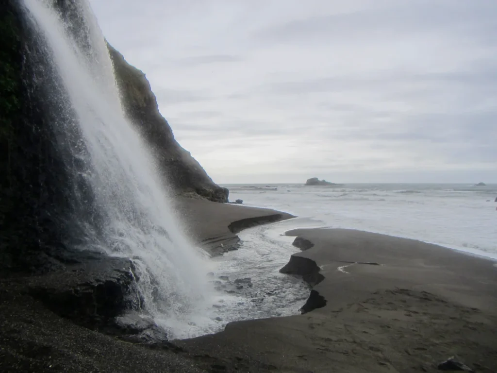
Picture a waterfall that drops about 40 feet over a coastal bluff and lands on a sandy beach, with the Pacific a few yards away. Now picture the tide deciding whether you’re allowed to reach it. That’s Alamere Falls, and it’s the headline hike among the Point Reyes hiking trails, a 13-mile day that rewards patience, a tide chart, and an early start.
Disclosure: Please note that some of the links below are affiliate links and at no additional cost to you, I may earn a commission. Know that I only recommend hiking gear I personally stand behind; when you use my affiliate links, it helps me run this blog and keep all of this content free of charge for readers (like you).
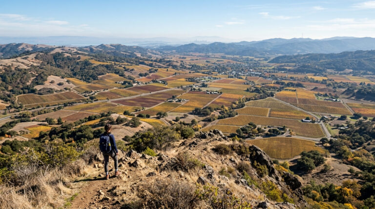
It’s far from the only reason to come. Point Reyes National Seashore, in Marin County, has about 150 miles of trails through Douglas-fir forest, windswept headlands, lagoons and long, empty beaches, and there’s no entrance fee.
These Point Reyes hikes range from a 1.2-mile beach walk to the 9.4-mile Tomales Point Trail among tule elk, and the Seashore has one of the Bay Area’s best-known waterfall hikes at the far end of the Coast Trail.
This guide follows your questions in order: how to get in, what’s closed, which trail fits your day, and how to reach Alamere Falls without getting stuck behind the tide. It’s one of the anchor destinations in our Marin County hiking trails guide.
Key Takeaways
- Cost and hours: No parking or entrance fees. The Seashore is open for day hiking from 6 a.m. to midnight; overnight parking and camping require a backcountry permit.
- Alamere Falls: 13.2 miles round trip from the Palomarin Trailhead (14.8 from Bear Valley, 15.6 from Five Brooks). Allow at least 6.5 hours, and time the beach stretch for low tide.
- Do not take the “Alamere Falls Trail” shortcut. The National Park Service says it isn’t a maintained trail and that visitors get hurt on it almost weekly.
- Easy hikes in Point Reyes: Kehoe Beach Trail (1.2 miles round trip) and Abbotts Lagoon (1.8 miles to the footbridge, 2.8 to the ocean).
- Long hikes: Tomales Point Trail (9.4 miles round trip, 4 to 5 hours) and the Sky–Bear Valley Loop (10.8 miles).
- Dogs: Allowed only on the Kehoe Beach Trail and a few beaches and areas, always on a leash. Not allowed on the trails to Alamere Falls.
What Makes Point Reyes National Seashore Hikes Different?
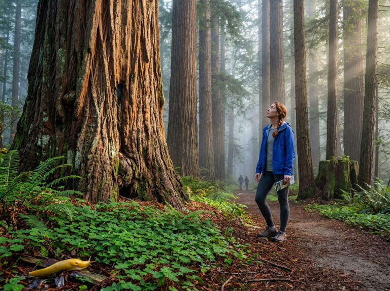
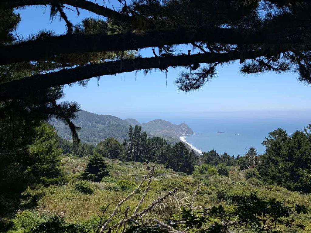
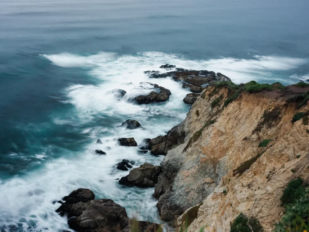
Point Reyes is a peninsula with its own weather. Inverness Ridge runs down its spine, and the National Park Service says summer beaches and headlands are often 20 degrees cooler than inland areas, with heavy fog common in July, August, and September. Pack layers every month of the year.
Alamere Falls sits inside the Phillip Burton Wilderness, where bicycles and other wheeled devices, including strollers, aren’t allowed.
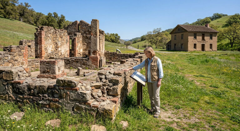
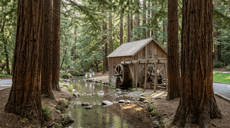
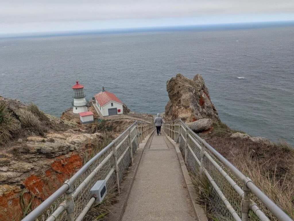
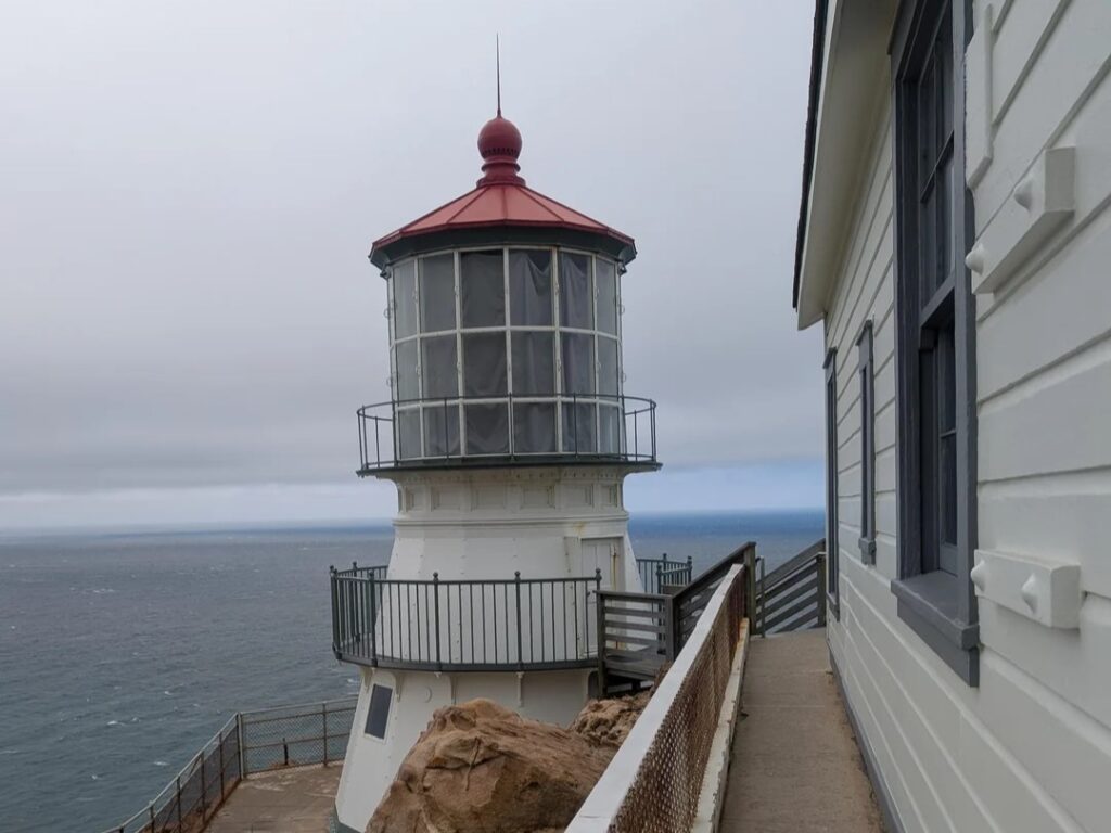
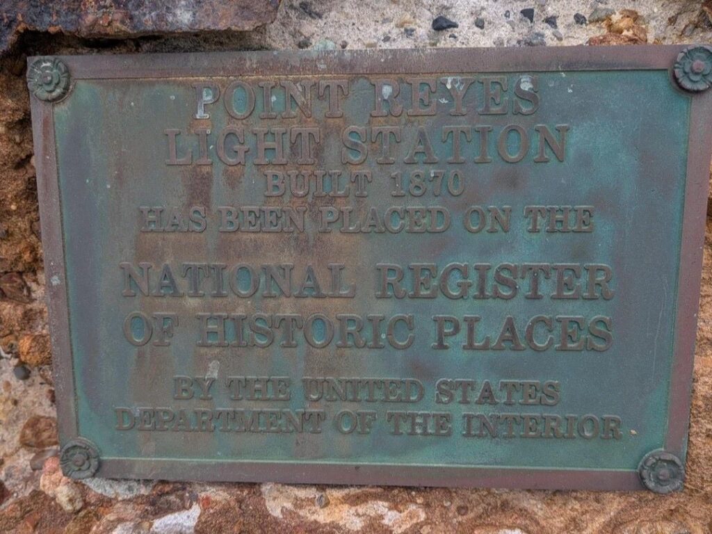
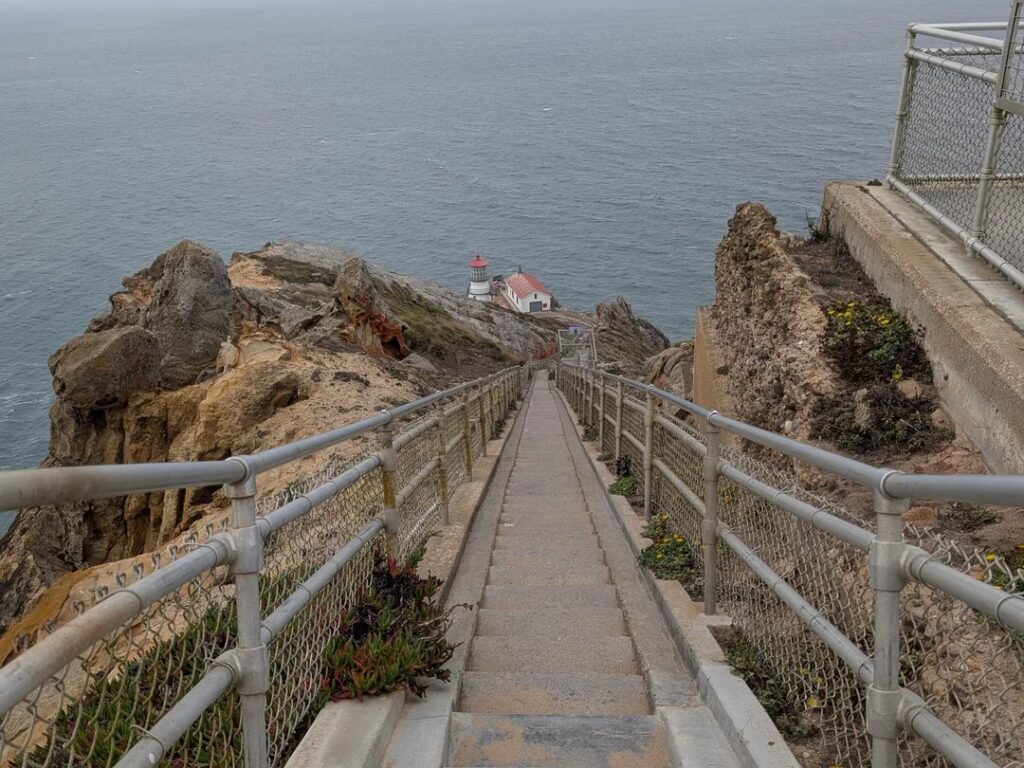
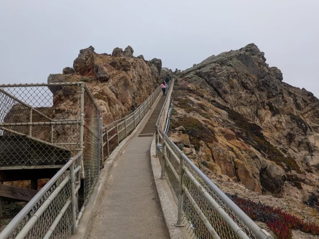
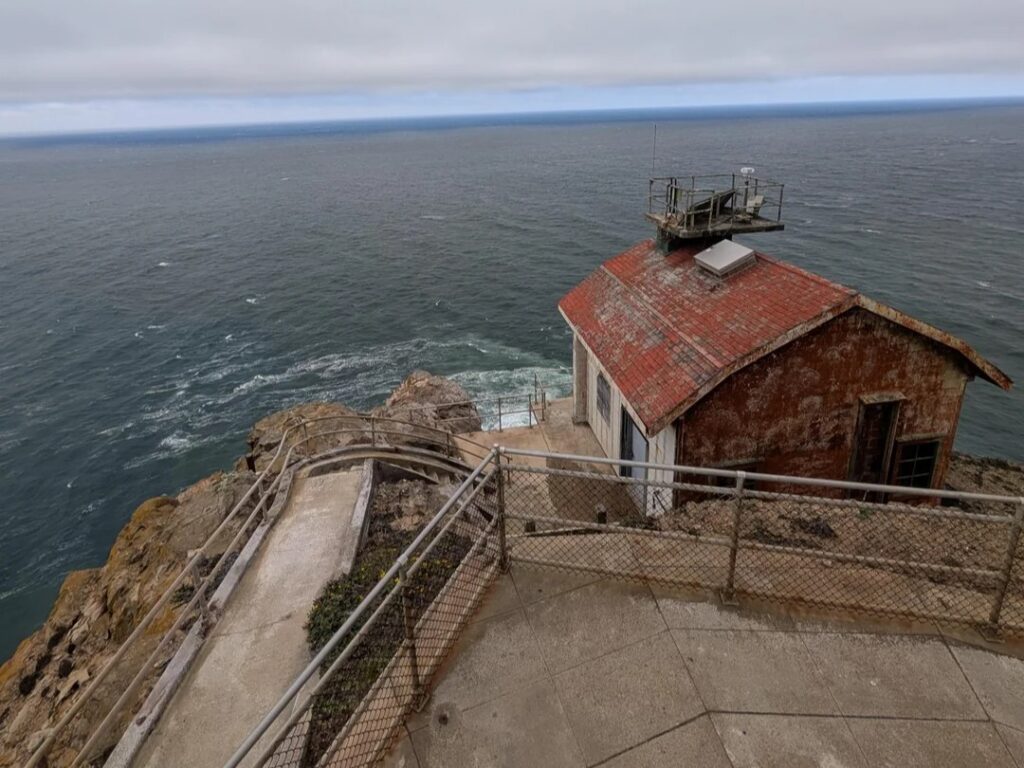
The Seashore also has history underfoot, from the historic Pierce Ranch to the Point Reyes Lighthouse. For a broader tour of Marin’s trails, see our guide to the best hiking trails in Muir Woods and Point Reyes.
Getting to Point Reyes: Fees, Hours and Trailheads
There’s nothing to pay at the gate, and the NPS says no parking or entrance fees are charged. Trailhead drive times from the Bear Valley Visitor Center, the park’s main information stop, shape your day: about 25 minutes to Abbotts Lagoon, 30 to Kehoe Beach, 35 to Tomales Point and 45 to Chimney Rock. Stop at Bear Valley first for trail maps and current trail information.
The Palomarin Trailhead is the exception to “arrive whenever.” The NPS says its lot fills very early on weekends and many summer weekdays, that late arrivals may be turned away, and that the park can close the Palomarin area to further entry for hours once the lot is full.
Arrive early or go midweek. Backpackers with a valid camping permit can park overnight at trailheads, including Palomarin and Bear Valley. For wider planning, see our guide to California hiking trail permits and passes.
Trail Closures and Conditions at Point Reyes
Check conditions before any hike here. A few closures to know about:
- Arch Rock: The NPS lists the Arch Rock Trail as permanently closed after part of the overlook collapsed on March 21, 2015. The Bear Valley Trail and Coast Trail nearby stay open.
- Palomarin Beach Trail: Listed as closed.
- Tomales Point: The last 1.7 miles to the northern tip are unmaintained, and sections of the cliff are prone to collapse.
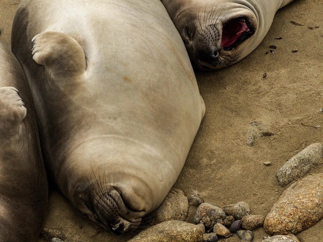
- Wildlife closures: From December 15 to March 31, areas near Chimney Rock, including the beach from the lifeboat station to Chimney Rock, are closed to protect nursing elephant seal pups. On weekends and holidays from late December to mid-April, visitors may need to ride a shuttle from Drakes Beach to the Lighthouse and Chimney Rock areas.
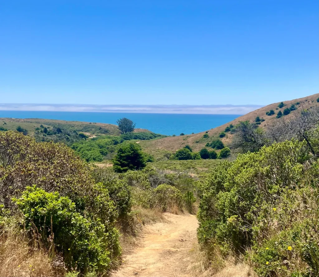
- Overgrown trails: The NPS warns that most trails are overgrown with grass and annuals, so expect to wade through vegetation and check for ticks.
The NPS updates its trail conditions page monthly, so confirm anything critical with the Bear Valley Visitor Center. Our guide to California hiking trail closures explains how to read advisories.
Best Point Reyes Hiking Trails
These routes use NPS distances and times. Trail apps may show slightly different numbers.
| Trail | Distance | NPS time estimate | Level | Trailhead |
|---|---|---|---|---|
| Kehoe Beach Trail | 1.2 mi round trip | 25–75 min | Easy | Kehoe Beach, Pierce Point Road |
| Abbotts Lagoon to the ocean | 2.8 mi round trip | 60–90 min | Easy | Abbotts Lagoon, Pierce Point Road |
| Chimney Rock Trail | Short walk to a viewpoint | 40–90 min | Easy | Chimney Rock |
| Mount Wittenberg | 4.8 mi round trip | 2–3 hr | Strenuous | Bear Valley |
| Tomales Point Trail | 9.4 mi round trip | 4–5 hr | Moderate | Pierce Point Ranch, end of Pierce Point Road |
| Sky–Bear Valley Loop | 10.8 mi | 4–6 hr | Strenuous | Bear Valley |
| Alamere Falls | 13.2 mi round trip | 6–8 hr | Hard | Palomarin |
Tomales Point Trail: Tule Elk and Two Waters
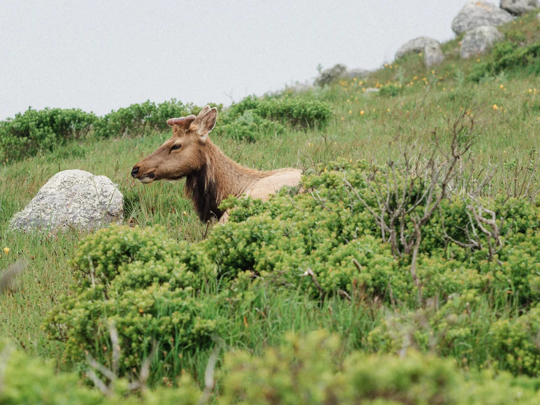
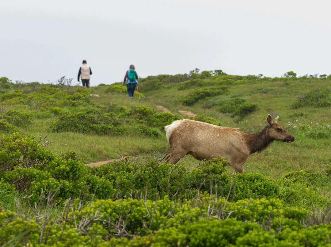
Tomales Point is the northernmost peninsula in the Seashore, with Tomales Bay on the east and the Pacific on the west. The 9.4-mile round trip, which the NPS says takes four to five hours, offers panoramic views of the Pacific Ocean, Bodega Bay, and Tomales Bay, and it runs through the tule elk reserve.
If you haven’t spotted elk yet, they often gather near the stock pond at Lower Pierce Ranch. The last 1.7 miles are unmaintained, so choose your turnaround point from current advisories and wear long pants.
Chimney Rock Trail: Headland Views and Wildlife
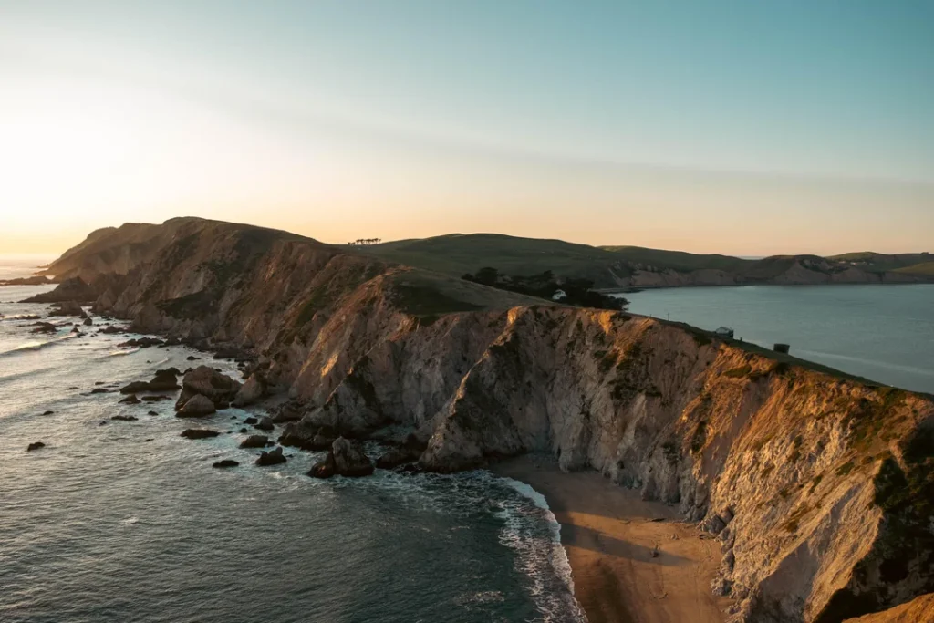
A narrow dirt path leads to a viewpoint at the southeast end of the Point Reyes Headlands, and the NPS suggests 40 to 60 minutes round trip, longer if you stop for whales and other wildlife.
Stay on the trail and away from the bluff tops: the narrowest section, about 0.4 miles along, is very prone to erosion, and cliff faces can collapse with little warning. There’s no beach access.
Abbotts Lagoon and Kehoe Beach: Easy Coastal Walks
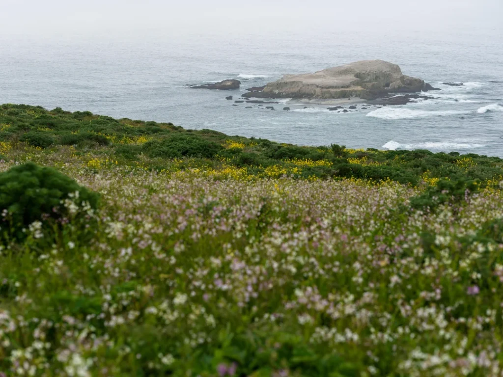
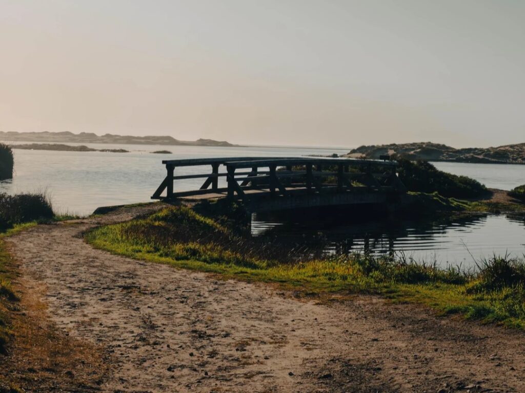
Abbotts Lagoon is a series of three coastal lagoons known for birding, especially in fall and winter, and for spring wildflowers. The trail runs past pastures and coastal scrub to a footbridge at 0.9 miles, then another half mile through dunes to Point Reyes Beach.
From Memorial Day to Labor Day, hiking south of Abbotts Lagoon on the Great Beach is prohibited on weekends and holidays to protect nesting western snowy plovers. For something shorter, the 1.2-mile Kehoe Beach Trail starts flat, then climbs over a small dune to reach the sand.



Bear Valley, Mount Wittenberg and the Sky–Bear Valley Loop
The Bear Valley Trail is the park’s gentle workhorse, a graded multi-use path about the width of a car that follows Bear Valley Creek and then Coast Creek toward the ocean. About 4.1 miles in, it meets the Coast Trail, where many hikers turn around.
For a climb instead, the Mount Wittenberg Trail climbs steeply under Douglas fir and tan oak, about 1,300 feet to the summit at 1,407 feet. The NPS lists the Sky–Bear Valley Loop, a 10.8-mile route that links forest, ridge and coast, at four to six hours.
Alamere Falls Point Reyes: How to Hike It Safely
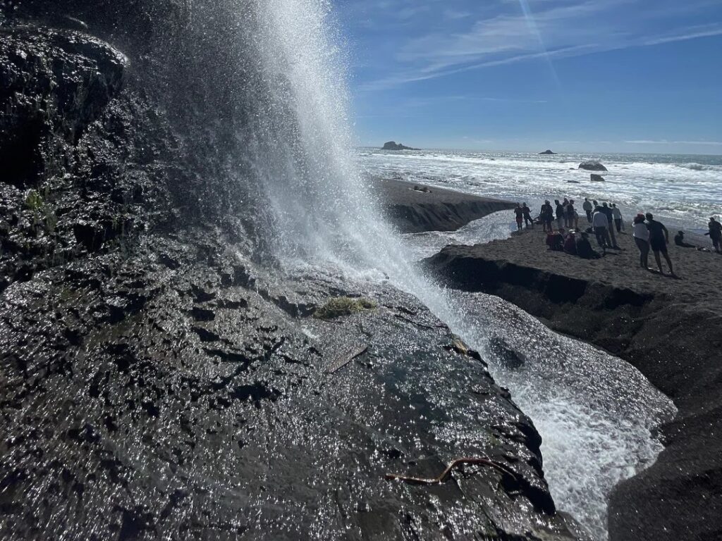
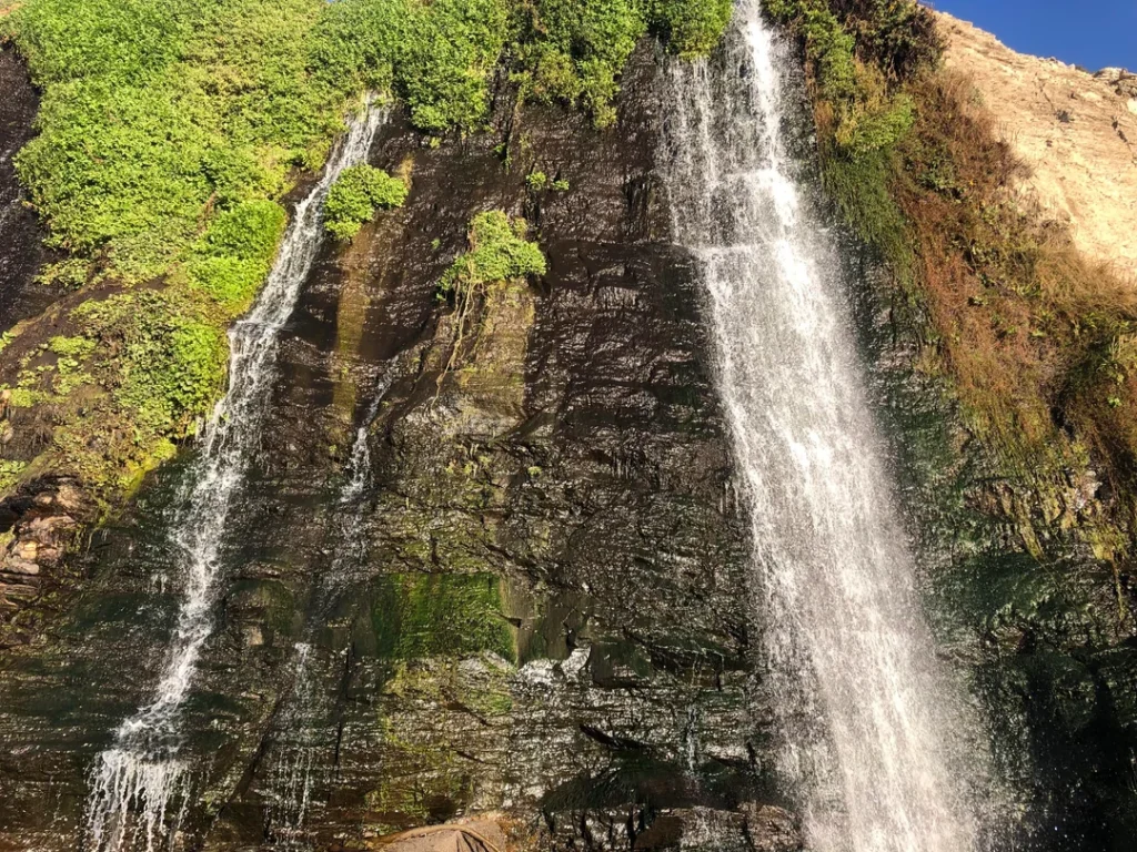
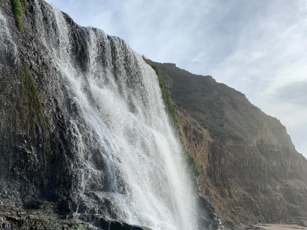
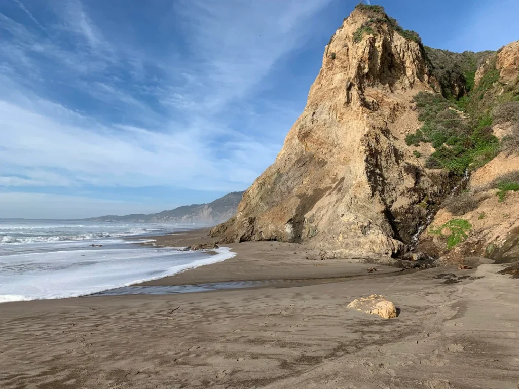
Alamere Falls spills over a cliff of about 40 feet onto the south end of Wildcat Beach, inside the Phillip Burton Wilderness. The National Park Service’s Alamere Falls page makes it clear that this is a long, challenging day: at least 13 miles round trip, timed to low tide. Three trailheads lead there, all converging at Wildcat Campground. For a quick fix on how this compares with other cascades, see our list of the best waterfall hikes in California.
The Route from Palomarin
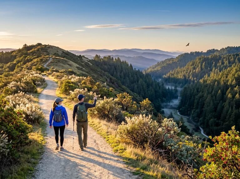
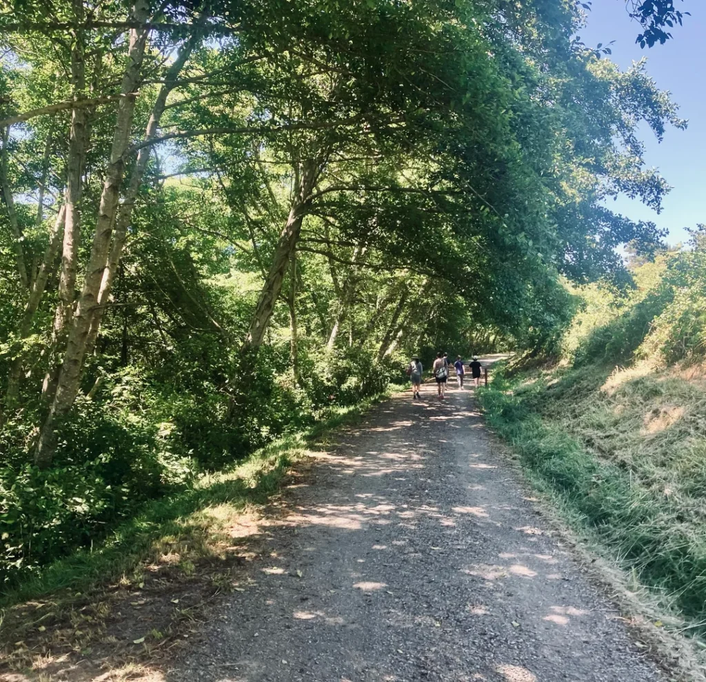
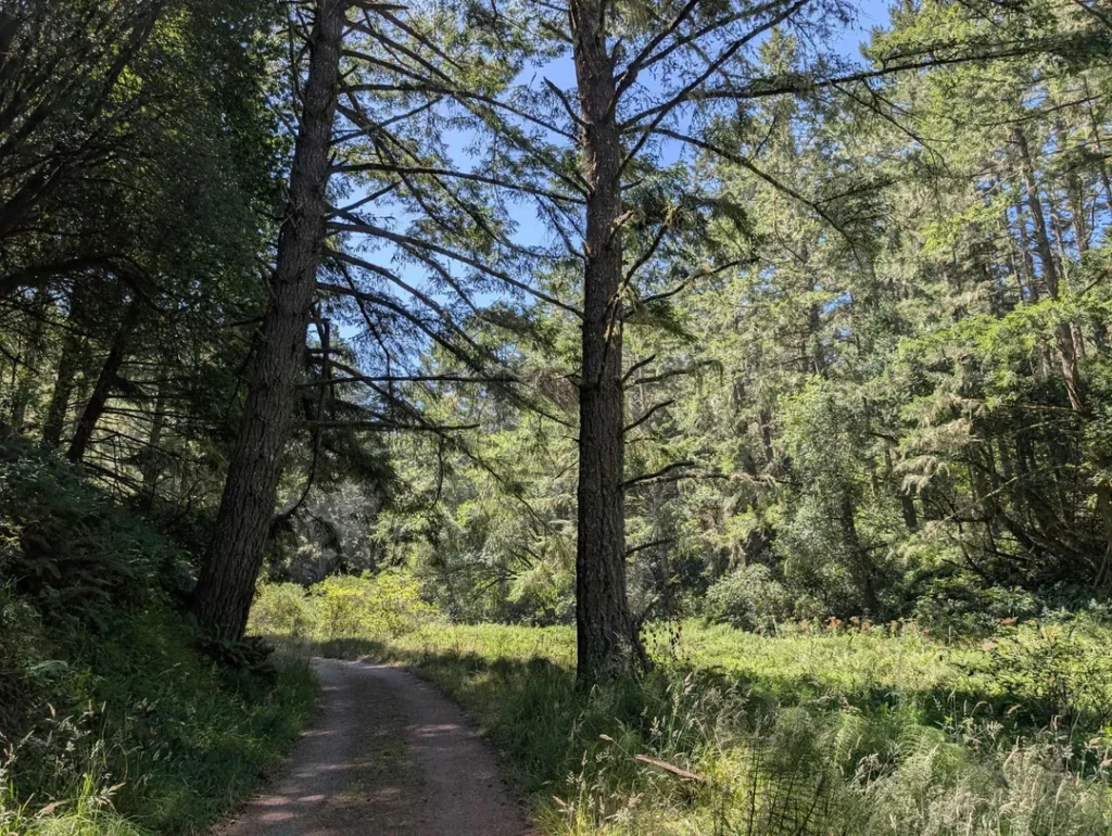
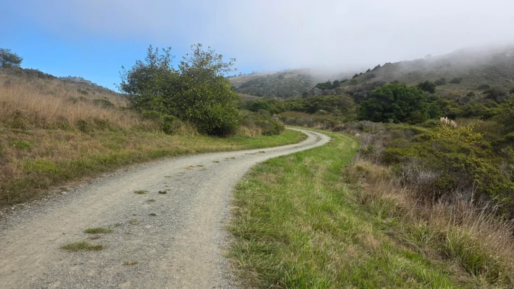
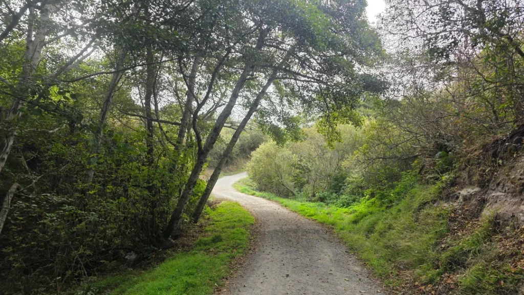
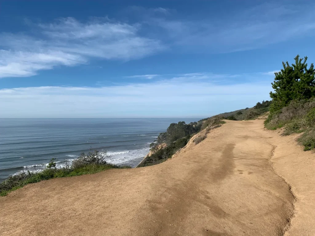
Follow the Coast Trail northwest along an ocean cliff top for about a mile. The trail then heads inland, drops into a small valley, and climbs switchbacks to a pass. You’ll hike past small ponds to Bass Lake at 2.8 miles, reach a view of Pelican Lake 0.6 miles later, and arrive at the Ocean Lake Loop junction 0.8 miles after that.
Stay right on the Coast Trail through scrub and forest, or turn left onto the Ocean Lake Loop, which passes Ocean Lake and then climbs steeply to bluff-top views. The two routes reconnect after 1.1 miles, and the final 0.2 miles lead to Wildcat Campground, about 5.5 miles from the trailhead.
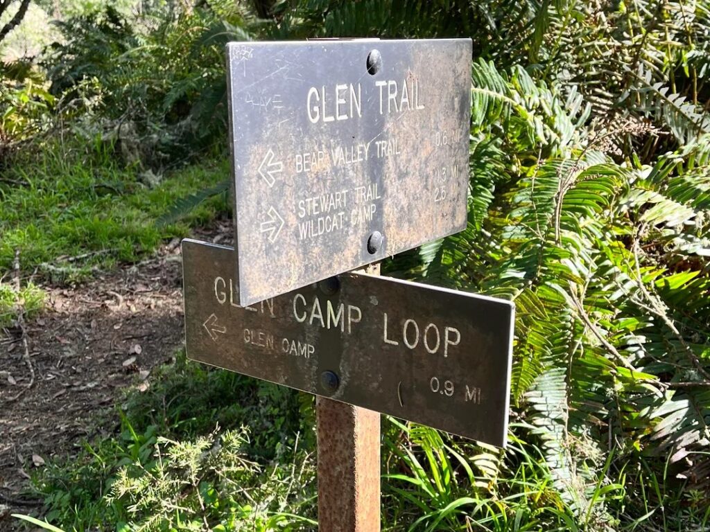
From Bear Valley, the route follows the Bear Valley Trail 3.1 miles to the Glen Trail, then the Glen and Stewart trails to camp. From Five Brooks, it climbs the Stewart Trail over Inverness Ridge. The NPS says to allow 7.5 hours from either trailhead.
Wildcat Beach and the Tide
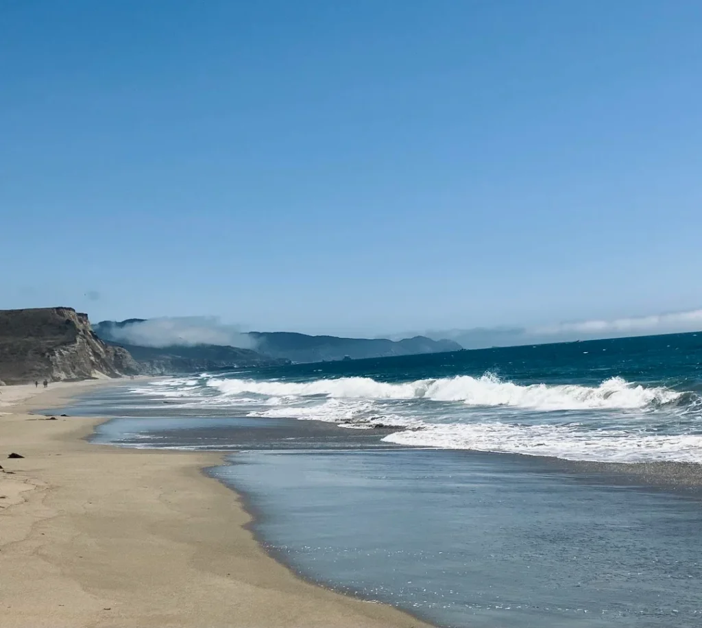
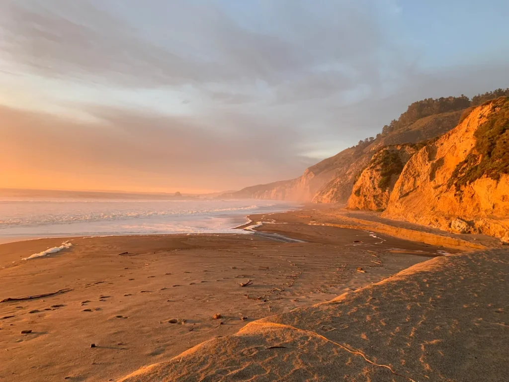
From Wildcat Campground, a well-worn trail on the south side of camp leads to the beach, and then it’s 1.1 miles south at low tide to the base of the falls. The NPS is blunt: if waves are reaching the base of the bluffs when you arrive, don’t try to walk to the falls.
If the tide is heading out, you can wait for safe passage. If it’s coming in, come back another day rather than waiting for the tide to peak and retreat. Check NOAA’s tide predictions for Point Reyes and the National Weather Service surf advisories before you go.
Why You Should Skip the “Shortcut”
You’ll see an “Alamere Falls Trail” in guidebooks and on social media, sometimes sold as a shortcut. The NPS says there is no park-sanctioned Alamere Falls Trail.
It describes the route as unmaintained, with crumbling cliffs and lots of poison oak, and says visitors get hurt on it almost weekly, sometimes needing search and rescue. Use the official routes above.
Make It an Overnight at Wildcat Camp
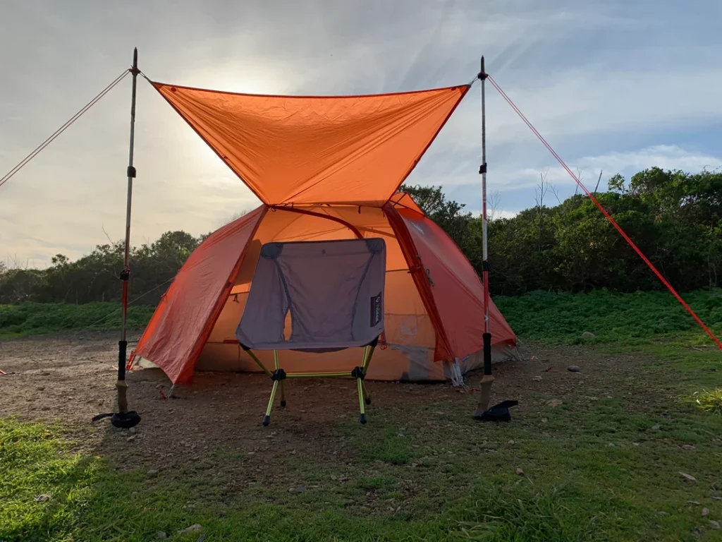
Because the tide controls your timing, many hikers split the trip with a night at Wildcat Campground, a hike-in site on a bluff above the ocean. Camping is by permit only, reserved through Recreation.gov, and there’s no car camping anywhere in the Seashore.
Our backpacking trails guide covers gear and planning for a first overnight, and our list of campgrounds near California’s top hiking trails is the place to look for car camping elsewhere in the state.
Dogs, Bikes, Horses and Other Point Reyes Rules
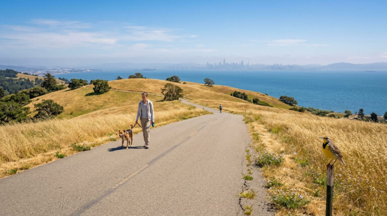
Dogs are allowed on very few trails. In the Seashore itself, leashed pets are permitted on the Kehoe Beach Trail and on the paths in the Niman Ranch and Commonweal area south of the Commonweal entrance road and west of Mesa Road.
Leashed dogs are also allowed on parts of three ocean beaches: Kehoe Beach north of the trail, Limantour Beach from the parking lot southeast to the beach next to Coast Camp, and Point Reyes Beach from the North Beach lot south to the old Navy lifeboat station.
Pets are prohibited on the trails to Alamere Falls, on Tomales Point, and on Chimney Rock. Our guide to dog-friendly hiking trails in California lists better options.
Bikes are prohibited on the Coast Trail, but allowed on the Stewart Trail and the northern three miles of the Bear Valley Trail. Horses are permitted on most trails, and hikers must yield.
Drones aren’t allowed anywhere in the Seashore. Groups inside designated wilderness are limited to 25 people, and you should never feed or approach wildlife.

Safety on Point Reyes Trails
The NPS highlights four hazards on its S-T-O-P banner: stinging nettle, ticks, obstacles such as downed trees, and poison oak. Stay on the trail, wear long pants in tall grass, and check yourself after your hike.
Potable water is available at the park’s visitor centers and backcountry campgrounds, so don’t drink from untreated sources. Plan on about a 2 mph pace and tell someone your route. Our guide to wildlife hazards on California trails covers the hazards.
When Is the Best Time to Hike Point Reyes?
The NPS describes the seasons this way: winter brings the heaviest rain; spring days are mostly windy; summer is dry but often foggy; and the coast sees some of its clearest days from late September through early November, with the strongest winds in November and December. For ocean views, aim for fall.
Our list of the best hiking trails in California for ocean views has more ideas, and our weather hazards guide explains how to prepare for fog and wind.
Where to Go Next After Point Reyes
For more of the county’s coast, see our guide to the best hiking trails along the Marin coastline and our guide to the best hiking trails in the Marin Headlands. For the whole county, return to the Marin County trail guide.
Final Recommendation
Here’s the honest version: with an hour, walk the Kehoe Beach Trail or the Chimney Rock Trail. With a half day, hike Abbotts Lagoon to the ocean.
With a full day and a tide chart, take the Coast Trail from Palomarin to Alamere Falls and plan your beach stretch for low tide. Skip the shortcut, carry water and layers, and give yourself time to turn around if the waves tell you to.
Frequently Asked Questions About Point Reyes Hiking
How much does it cost to hike at Point Reyes National Seashore?
Nothing. The NPS says no parking or entrance fees are charged. Overnight camping requires a permit reserved through Recreation.gov.
How long is the hike to Alamere Falls?
It’s 13.2 miles round trip from the Palomarin Trailhead, 14.8 from Bear Valley, and 15.6 from Five Brooks. The NPS says to allow at least 6.5 hours from Palomarin and 7.5 hours from the other two.
Do you need low tide to reach Alamere Falls?
Yes. The final 1.1 miles from Wildcat Campground follow the beach, and it can be impassable at high tide or in high surf. Check the tide table and aim to reach the beach as the tide is low.
Are dogs allowed at Point Reyes?
Only on the Kehoe Beach Trail, the Niman Ranch and Commonwealth paths, and parts of three beaches, always on a leash. They’re prohibited on Tomales Point, Chimney Rock, Abbotts Lagoon, and every trail that leads to Alamere Falls.
What’s the best easy hike at Point Reyes?
Kehoe Beach Trail (1.2 miles round trip) and Abbotts Lagoon (1.8 miles to the footbridge) are both easy and scenic, and the NPS lists both for all ages.
Can you camp near Alamere Falls?
Yes, at Wildcat Campground, a hike-in site on a bluff above the ocean. It requires a Recreation.gov permit, and the beach walk to the falls starts from camp.