Montaña de Oro State Park Hiking Guide
Montaña de Oro State Park is a stretch of San Luis Obispo County coast where Pecho Valley Road ends, and the Pacific takes over the scenery. The park covers more than 8,000 acres and seven miles of shoreline south of Los Osos, with trails ranging from a flat, wheelchair-friendly bluff walk to a 1,347-foot summit, with Morro Rock and Morro Bay laid out below.
Disclosure: Please note that some of the links below are affiliate links and at no additional cost to you, I may earn a commission. Know that I only recommend hiking gear I personally stand behind; when you use my affiliate links, it helps me run this blog and keep all of this content free of charge for readers (like you).
Day-use parking is free, dogs stay off the trails, and Corallina Cove, the tide-pool stop older guides still point you toward, is closed. My advice: walk the Bluff Trail for the coastline, add Valencia Peak if you want the view from above, and let the tide chart decide the rest of your day.
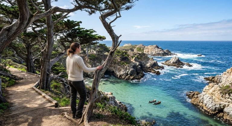
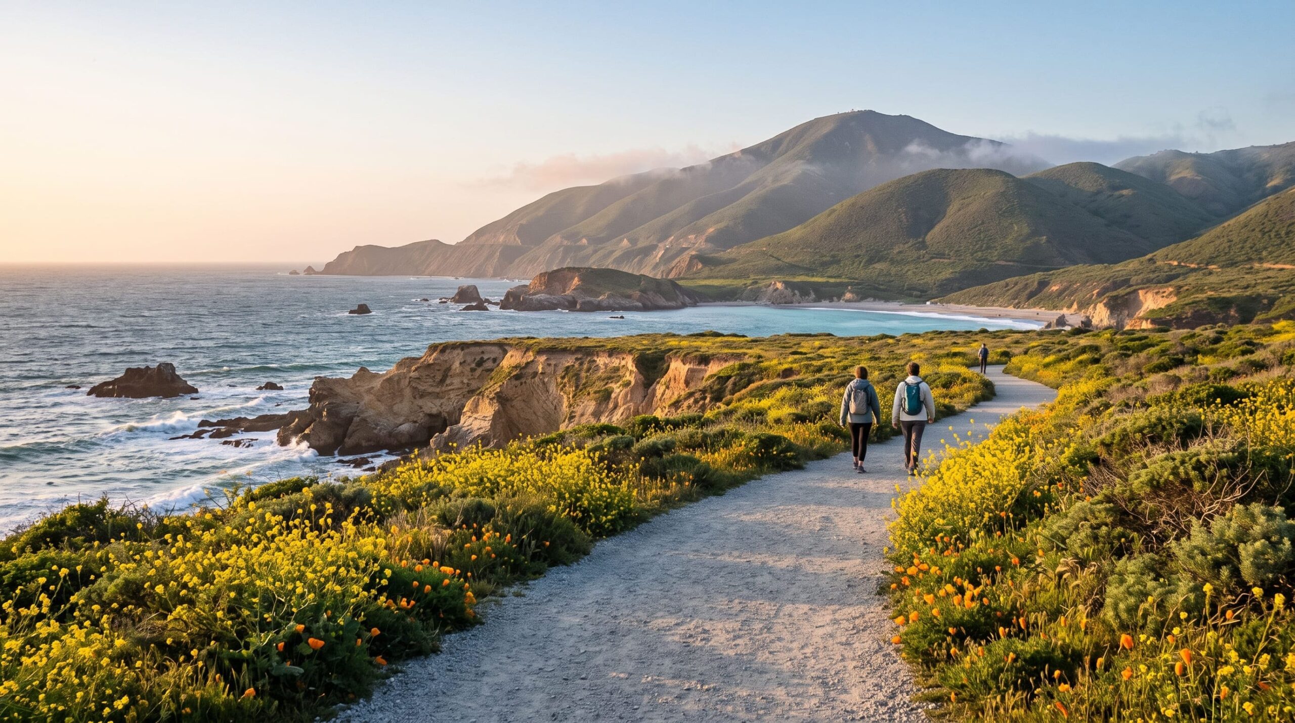
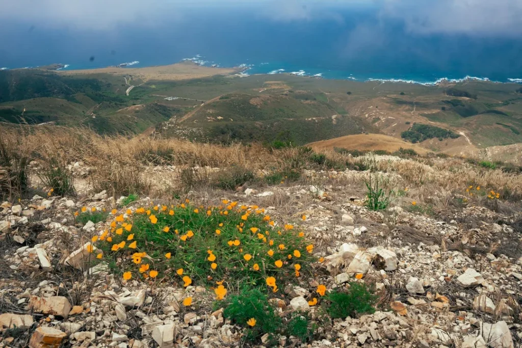
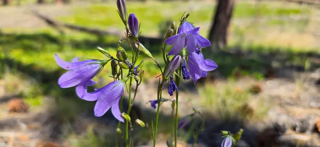
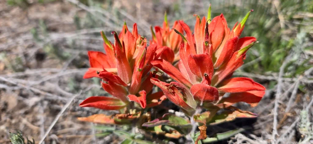
The name means “mountain of gold,” and in spring the bluffs earn it. Mustard and poppies spill across the coastal terraces while waves hit the rocks below. The rest of the year the park trades color for drama: swells fill the sea caves, fog sits on the ridgelines, and the peaks above the shore catch the light when it breaks.
Key Takeaways
- Best first hike: the Bluff Trail, about 3 miles round trip to the last coastal overlook, or about 4.2 miles if you walk the whole trail out and back. Elevation change is under 150 feet.
- Best summit: Valencia Peak, about 4.5 miles round trip with roughly 1,275 feet of climbing, ending at a 1,347-foot summit with a picnic table.
- Cost and hours: day-use entry and parking are free, and the park is open 6 a.m. to 10 p.m. Camping fees still apply.
- Dogs: not allowed on trails. Leashed dogs (6-foot maximum) are allowed only in the campground, Hazard Canyon Horse Camp, on park roads, and at Spooner’s Cove Beach.
- Closure to know about: California State Parks lists Corallina Cove access as closed indefinitely because storm erosion made it unsafe.
- Next door: the Point Buchon Trail starts at the park’s southern end but runs on PG&E land, open Thursday through Monday only.
- Season: wildflowers peak in spring, roughly March through May depending on rain. Summer days are often 30 degrees cooler than inland, so bring layers.
Montaña de Oro State Park at a Glance
| Detail | What to know |
|---|---|
| Location | San Luis Obispo County, about 15 miles west of San Luis Obispo; the campground is about 4 miles south of Los Osos |
| Address | 3550 Pecho Valley Rd, Los Osos, CA 93402 |
| Size | More than 8,000 acres with 7 miles of shoreline |
| Hours | Day-use areas open 6 a.m. to 10 p.m. |
| Fees | No entrance or parking fee; camping fees apply |
| Visitor center | Spooner Ranch House, with trail maps and a nature store; hours vary by season (805-539-6857) |
| Dogs | Not on trails; leashed only in the campground, horse camp, roads, and Spooner’s Cove Beach |
| Water and restrooms | Drinking water available; pit toilets at the campground; a restroom at the Bluff Trail’s southern end |
| Park phone | 805-772-6101 |
Check the park’s official California State Parks page before you leave home. It carries the current restrictions, events, and campground availability, and it is where the Corallina Cove closure is posted. The park is one of the larger units in California’s state park system, and it anchors the coastal side of our San Luis Obispo County hiking guide.
The Story Behind the Name
People have walked this coast for a very long time. State Parks’ brochure puts the ancestors of today’s Chumash and Salinan people here for at least nine thousand years, moving between the shore and the inland valleys. The land later became part of Rancho Cañada de los Osos y Pecho y Islay, granted in 1845.
In the early 1890s, Alden B. Spooner II started a farm, dairy, and hog operation here, and by 1917 he was working about 9,000 acres. The old Spooner Ranch House near Spooner’s Cove is the visitor center today. His neighbor to the north, Alexander S. Hazard, planted hundreds of eucalyptus in 1908, hoping to sell timber. The wood proved poor for lumber, but the rows of trees remain, and you drive through them on the way in.
The state bought the land in 1965 and kept the name Irene McAllister had given the ranch: Montaña de Oro, for the golden wildflowers of spring.
Getting to Montaña de Oro State Park, California
Montaña de Oro State Park, California, sits at the end of a single road. From Highway 101 in San Luis Obispo, take the Los Osos Valley Road exit and drive about 11 miles west. The road becomes Pecho Valley Road, and the Spooner Ranch House is roughly 3.5 miles farther. The park’s main parking area is near the ranch house, with more turnouts along the road.
Two things trip people up. First, Pecho Valley Road dead-ends at the Coon Creek parking lot, so there is no loop through the park; you leave the way you came. Second, weekends fill the lots near Spooner’s Cove, so arrive early if you plan to climb Valencia Peak.
Los Osos is the closest town for gas and groceries, about 4 miles north of the campground, and Morro Bay is about 10 miles north, offering additional lodging choices such as the Morro Bay State Park Campground. If you are driving down from Monterey, State Parks lists the Highway 1 route through Big Sur at 158 miles, conditions permitting; our Highway 1 road trip guide covers that stretch.
Bluff Trail at Montaña de Oro: Start Here
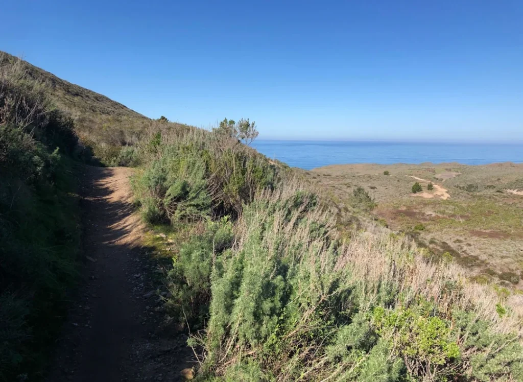
Bluff Trail, Montaña de Oro’s best-known walk, is the one I would hand to any first-time visitor. The trailhead lot is on the west side of Pecho Valley Road just past the visitor center, facing the Valencia Peak trailhead across the road. The path is wide gravel and graded for wheelchairs and strollers, though the narrow side footpaths that lead to the bluff edge are not. Cyclists, joggers, and families share it.
What you pass, in order
The trail heads south across the bluff and swings out to Islay Point, where Spooner’s Cove curls into view behind you. About half a mile in, a spur used to drop to Corallina Cove. State Parks has closed that access indefinitely because storm erosion made the descent unsafe, so stay on the main trail and treat any older trail description that routes you down there as out of date. (For how to check a closure before any hike, see our guide to California trail closures.)
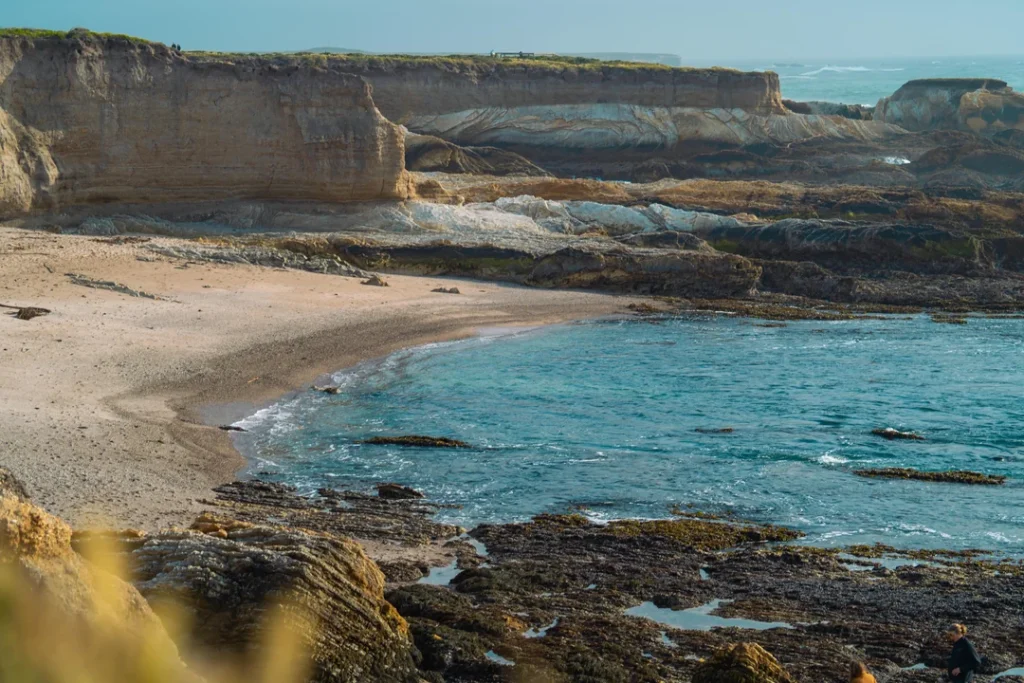
Past the cove spur, a ravine junction offers a 0.4-mile shortcut back toward the start. Skip it and cross the ravine to keep going; in spring, nasturtiums may be visible along the bottom. About half a mile farther, you reach Quarry Cove, where a wheelchair-accessible picnic table sits beside the trail, and a short path leads down to the rocks and tide pools. State Parks’ closure notice names only Corallina Cove.
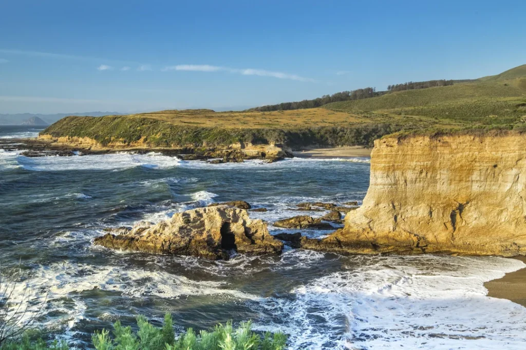
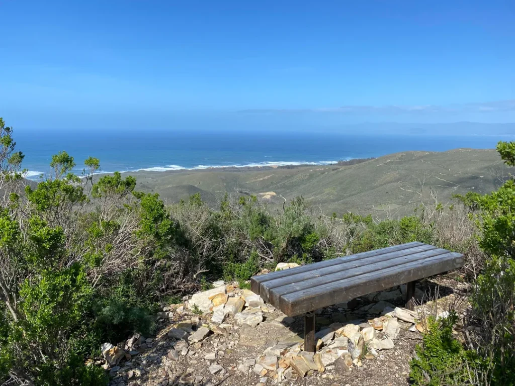
Another 0.35 mile brings you to Grotto Rock, a tall sea stack standing in a rocky cove, with tunnels cut through its base that let waves surge straight through. Natural bridges line the coast here, and when swell, tide, and wind line up, a blowhole can spray from a channel just south of the rock. A quarter mile later, a pair of V-shaped benches marks the last overlook, about 1.5 miles from the start. From the point, you look south across Coon Creek Beach toward a sinkhole on the Point Buchon Trail.
Most hikers turn around at the benches. The trail does continue another 0.6 miles inland, over two footbridges, to Pecho Valley Road at the Coon Creek trailhead, where there are picnic tables and a restroom.
Distance, effort, and time
- To the last overlook and back: about 3 miles, with roughly 90 feet of elevation change and about an hour and a quarter of walking, before tide-pool stops.
- End to end and back: about 4.2 miles round trip, with about 140 feet of elevation change.
If you have walked Big Sur’s bluffs, the mood will feel familiar; our Big Sur hiking guide covers the original. For more shoreline walks like this one, browse our ocean-view hikes in California.
Tide Pools and Beaches
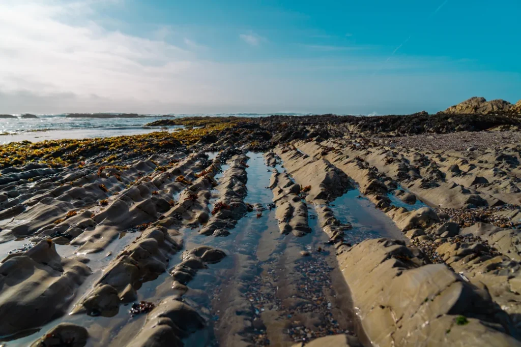
Tide pools at Montaña de Oro come down to timing. Check a tide chart before you drive in and aim to arrive on a falling tide, since the pools are only exposed for a few hours either side of low water.
- Spooner’s Cove: the park’s best-known beach, directly across from the campground and below the ranch house. It is also the only beach where leashed dogs are allowed.
- Quarry Cove: the Bluff Trail’s other tide-pool stop, a short walk past the closed Corallina spur. Ask at the visitor center for the latest on access.
- Hazard Canyon Reef: reached by the Dune Trail near the northern end of the park, about 1 mile round trip with roughly 100 feet of elevation change. The path descends an oceanfront ravine and finishes with a short scramble to a rocky shoreline. State Parks lists guided tide-pool programs here on its events calendar.
Look, don’t pry. Leave anemones, sea stars, and hermit crabs where they are, and step on bare rock rather than on the animals. Never turn your back on the surf.
Montana de Oro Hikes Above the Coast: Valencia, Hazard, and Oats Peaks
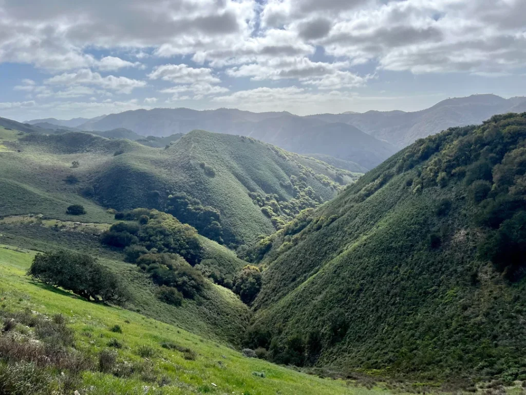
The park’s inland trails climb the ridgelines of the Irish Hills, and every summit trail rewards you with ocean views. None have water or much shade, so carry more than you think you need.
Valencia Peak
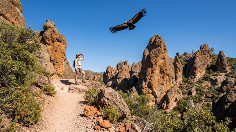
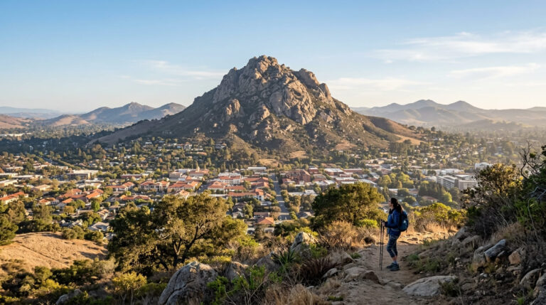
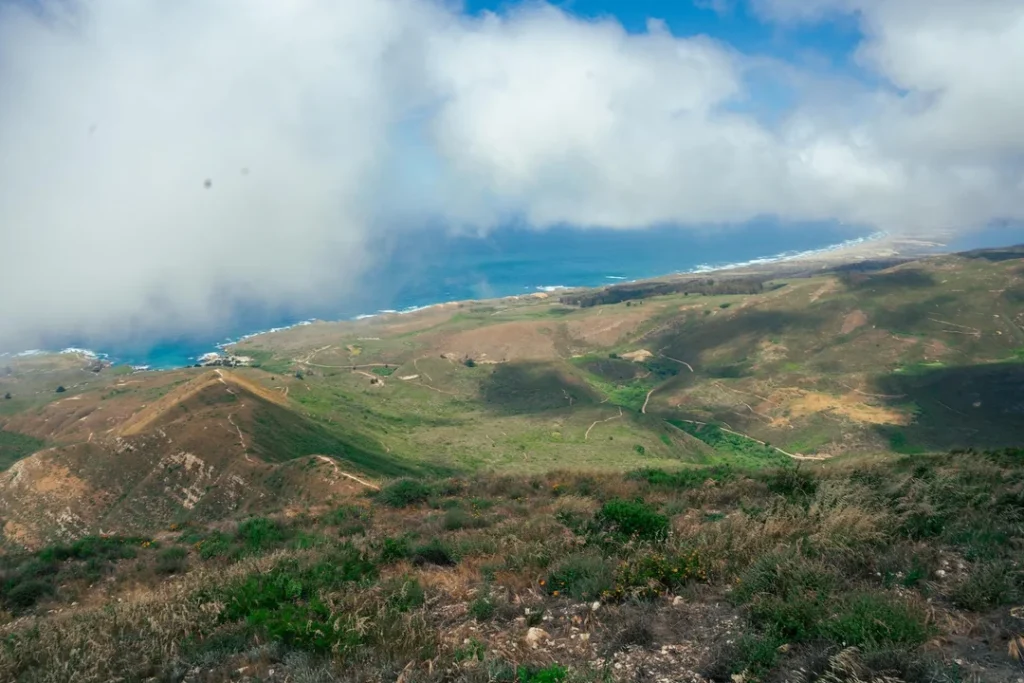
Valencia Peak is the classic climb. The trailhead sits across from the Bluff Trail lot, and the route covers about 4.5 miles round trip with roughly 1,275 feet of gain, topping out at 1,347 feet. The singletrack is well graded and maintained, with a steeper push near the top. At the summit, a picnic table looks out on Morro Rock, Cerro Cabrillo, and the coastline running south to Point Buchon. Pair it with the Bluff Trail on a cool morning, climb first, and finish at the coast.
Hazard Peak
Hazard Peak tops out at 1,076 feet. The out-and-back route runs about 6 miles with roughly 950 feet of gain, and it climbs steadily rather than steeply. The view looks north up the coast toward Morro Bay. A route via the Bloody Nose and Hiedra Trails runs about 5.5 miles and passes through Hazard’s eucalyptus grove.
Oats Peak
Oats Peak is the long day: about 10.8 miles round trip with roughly 1,325 feet of climbing. It lies farther inland and rewards you with views over the Irish Hills to the east.
Some trails on the park’s north side are shared with mountain bikes and horses, so check signs at each junction.
Canyon Walks: Islay Creek and Coon Creek
When the ridgelines are windy, or the legs are tired, the canyons are the gentler option.
- Islay Creek Trail: about 6 miles round trip with roughly 300 feet of gain. The wide trail follows a coastal canyon between peaks of about a thousand feet, passes a small waterfall, and ends at an abandoned barn.
- Coon Creek Trail: about 5 miles round trip with roughly 250 feet of gain, starting from the Coon Creek end of the park. It winds up a coastal canyon to a stand of Monterey cypress.
Point Buchon Trail: The Hike Next Door With Its Own Rules
The Point Buchon Trail starts from the Coon Creek lot at the end of Pecho Valley Road, but it crosses onto land that belongs to PG&E, and the rules change at the boundary. PG&E’s recreation page lists the trail as a 6.6-mile round trip, open Thursday through Monday year-round, with a cap of 275 visitors a day.
- Hours: 8 a.m. to 5 p.m. from April 1 to October 31, and 8 a.m. to 4 p.m. from November 1 to March 31. The trail is closed on Tuesdays and Wednesdays and on New Year’s Day, Easter, Thanksgiving, and Christmas.
- Check-in: you sign in at the check-in station and read the waiver before you start.
- Rules: hikers only, no smoking or open flames, and no beach access except at Coon Creek.
PG&E asks hikers to call the trailhead at 805-528-8758 for current status. Weather or plant security operations can close it at any time.
Which Montaña de Oro Hike Fits Your Day?
Effort ratings below are my read of distance and elevation gain.
| Hike | Round trip | Elevation gain | Effort | Best for |
|---|---|---|---|---|
| Bluff Trail (to last overlook) | ~3 miles | Under 100 ft | Easy | Coastline, families, wheelchair-friendly main path |
| Hazard Canyon Reef | ~1 mile | ~100 ft | Easy, rocky finish | Tide pools |
| Islay Creek Trail | ~6 miles | ~300 ft | Easy | Canyon, small waterfall, quiet walking |
| Coon Creek Trail | ~5 miles | ~250 ft | Easy to moderate | Monterey cypress, south end of the park |
| Hazard Peak | ~6 miles | ~950 ft | Moderate | Views north toward Morro Bay |
| Valencia Peak | ~4.5 miles | ~1,275 ft | Moderate to strenuous | Summit panorama |
| Oats Peak | ~10.8 miles | ~1,325 ft | Strenuous | Long day, Irish Hills views |
| Point Buchon Trail | 6.6 miles | Varies, with some steep grades | Moderate | Remote headlands; Thursday through Monday only |
Building a longer itinerary? Our guide to the best hiking trails in San Luis Obispo County compares Montaña de Oro with the rest of the county, and our guide to coastal hiking trails near Morro Bay covers the bay side to the north.
When to Visit
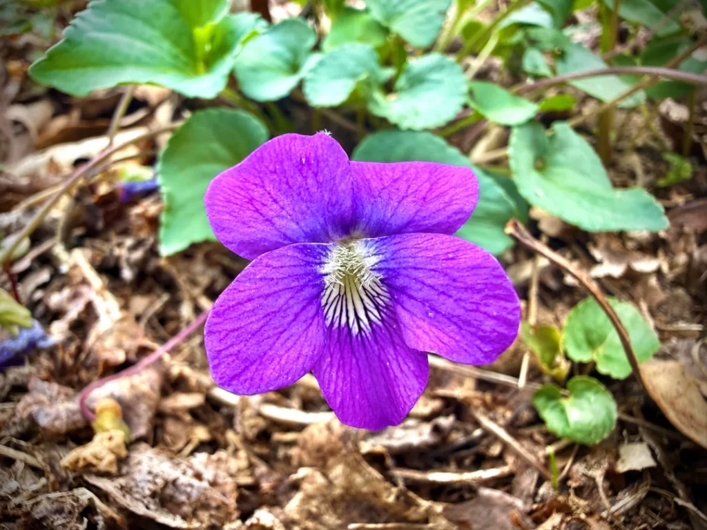
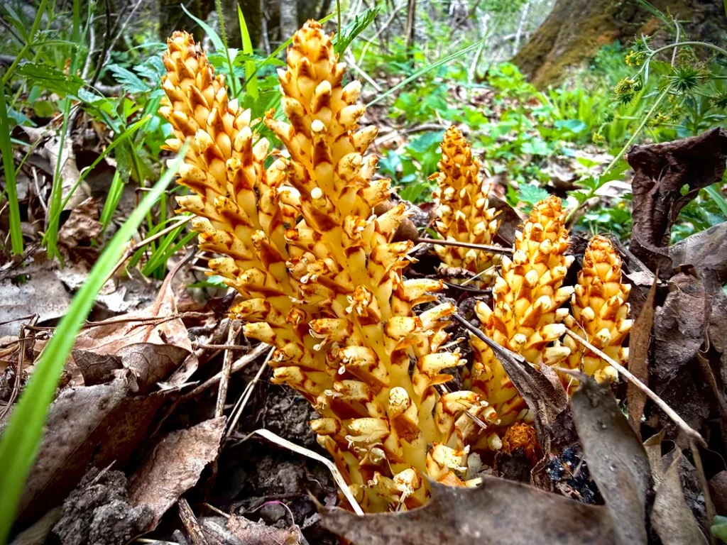
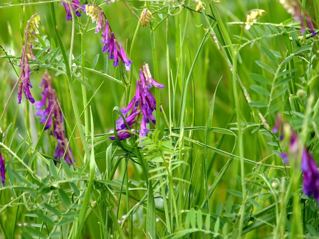
Spring (roughly March through May): wildflower season. Sources differ on the peak month, and it moves with the rains, so call the park before planning a trip around the bloom. For other blooms along the coast, see our guide to spring wildflower hikes in California.
Summer: State Parks says days are often 30 degrees cooler than inland, and the park’s own advice is to dress in layers, especially near the ocean. Fog is common on the coast, and the peaks are exposed, so start early.
Fall and winter: big surf fills the sea caves and blowholes along the Bluff Trail. Signs in the park note that it is part of The Whale Trail, a good reason to bring binoculars. Winter is also when storms are most likely to close trails or erode bluffs, so check the State Parks page first.
Weekends are busiest. If you can, go on a weekday morning.
Camping and Staying Overnight
- Islay Creek Campground: 47 dry sites for tents and RVs up to 27 feet. Each has a fire ring and picnic table, with water spigots and pit toilets nearby. There are no hookups, dump station, or showers.
- Environmental Camps: four walk-in sites reached by a hike of about 100 yards to half a mile. They have pit toilets but no drinking water, no campfires, and no dogs.
- Hazard Canyon Horse Camp: four sites for campers with horses.
Reserve through ReserveCalifornia; State Parks does not allow camping outside the designated areas. For other options along the coast, see our guide to campgrounds near California’s top hiking trails.
Safety and Trail Rules
- Stay on designated trails. State Parks asks visitors to stay on designated trails, and the bluffs are eroding. Keep well back from edges, which our guide to terrain hazards on California trails explains in more detail.
- Poison oak grows throughout the park. State Parks also warns that ticks are present and may carry Lyme disease.
- Carry water. State Parks advises it on any hike longer than an hour, and the peaks have none.
- Leave dogs at home unless they are staying at the campground or going to Spooner’s Cove Beach. Our guide to hiking with dogs in California lists trails that do welcome them.
- Watch for announcements. State Parks has scheduled prescribed burns near the Bloody Nose Trail on past dates, so check its news page before heading out.
Frequently asked questions
Where is Montana de Oro State Park, CA, and how far is it from San Luis Obispo?
The park is in San Luis Obispo County, about 15 miles west of San Luis Obispo, past Los Osos on Pecho Valley Road. The address is 3550 Pecho Valley Rd, Los Osos, CA 93402.
Is Montaña de Oro State Park free?
Day-use entry and parking are free, so no pass is needed. Camping fees still apply.
Are dogs allowed at Montaña de Oro?
Not on trails. Leashed dogs (6-foot maximum) are allowed only in Islay Creek Campground, Hazard Canyon Horse Camp, on park roads, and at Spooner’s Cove Beach.
What is the best hike in Montaña de Oro State Park?
For most visitors, the Bluff Trail: it is flat and scenic, and it passes Quarry Cove and Grotto Rock. For a summit view, climb Valencia Peak.
Is Corallina Cove open?
No. California State Parks lists access as closed indefinitely because storm erosion made it unsafe. Confirm current conditions on the park page or by calling 805-772-6101.
How long does the Bluff Trail take?
About an hour and a quarter for the 3-mile version, and about two hours if you walk the full 4.2 miles and stop at the coves.