Mammoth Lakes Alpine Lake Hiking Guide
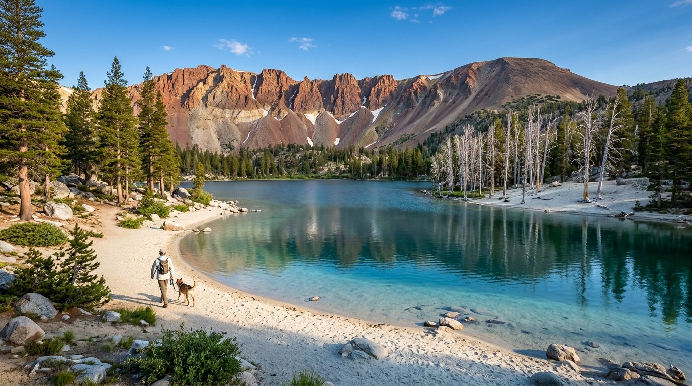
The road keeps climbing through lodgepole pines, past Twin Lakes, past the green shallows of Lake Mamie, and then it simply stops. There is no sign announcing a finale, only a wide paved lot, a beach of pale sand, and a lake bent into the shape its name promises. That is Horseshoe Lake, and Horseshoe Lake Mammoth is the gentlest way into the Lakes Basin: a loop of roughly 1.5 miles at about 8,950 feet, no entry fee, a shoreline where swimming is allowed, and a stand of silver, dead trees with a volcanic explanation.
Disclosure: Please note that some of the links below are affiliate links and at no additional cost to you, I may earn a commission. Know that I only recommend hiking gear I personally stand behind; when you use my affiliate links, it helps me run this blog and keep all of this content free of charge for readers (like you).
This guide covers the loop, the parking and trolley options, the carbon dioxide you need to respect, and the neighboring lakes that people often confuse with this one.
Key Takeaways
- Horseshoe Lake sits at the dead end of Lake Mary Road in the Mammoth Lakes Basin, inside Inyo National Forest, at roughly 8,950 feet.
- The main loop is about 1.5 miles (trail sources list anywhere from 1.2 to 1.8) and mostly flat, which suits families, beginners, and trail runners.
- The site is day use only, open 6:00 a.m. to 10:00 p.m., and the Forest Service lists no fee.
- It is the only lake in the Lakes Basin where swimming is allowed.
- Volcanic carbon dioxide seeps from the ground here and has killed roughly 120 acres of trees. The gas is heavier than air and pools in low, enclosed spots, so stay on the marked trail and keep children and dogs out of hollows.
- The free Lakes Basin Trolley runs from The Village in summer, and the paved Lakes Basin Path climbs about 1,000 feet over roughly five miles from town.
- Lake Mary Road opens to vehicles on a snow-dependent schedule (May 2 in 2026, May 23 in 2025). In winter, access is by ski or snowshoe only.
Horseshoe Lake at a Glance
| Detail | What to Know |
|---|---|
| Location | End of Lake Mary Road, Mammoth Lakes Basin, Mono County, CA (Inyo National Forest) |
| GPS | 37.6129, -119.0203 (Forest Service coordinates) |
| Elevation | About 8,950 feet |
| Main loop | About 1.5 miles, mostly flat, shaded, sandy in places |
| Time needed | Under an hour of easy walking; longer with a swim or picnic |
| Hours | Daily, 6:00 a.m. to 10:00 p.m. (day use only) |
| Fee | None listed by the Forest Service |
| Dogs | Welcome on leash in developed recreation sites |
| Swimming | Allowed; no lifeguard |
| Best season | Late spring through early fall; ski or snowshoe access in winter |
Where Horseshoe Lake Sits in the Mammoth Lakes Basin
Mammoth Lakes, the town, already sits just under 8,000 feet, and Horseshoe Lake lifts you another thousand. From The Village, Main Street bends into Highway 203, which becomes Lake Mary Road and climbs southwest toward the Lakes Basin.
The road threads past Twin Lakes, Lake Mamie, and Lake Mary before it ends at Horseshoe Lake, the last body of water on the route.
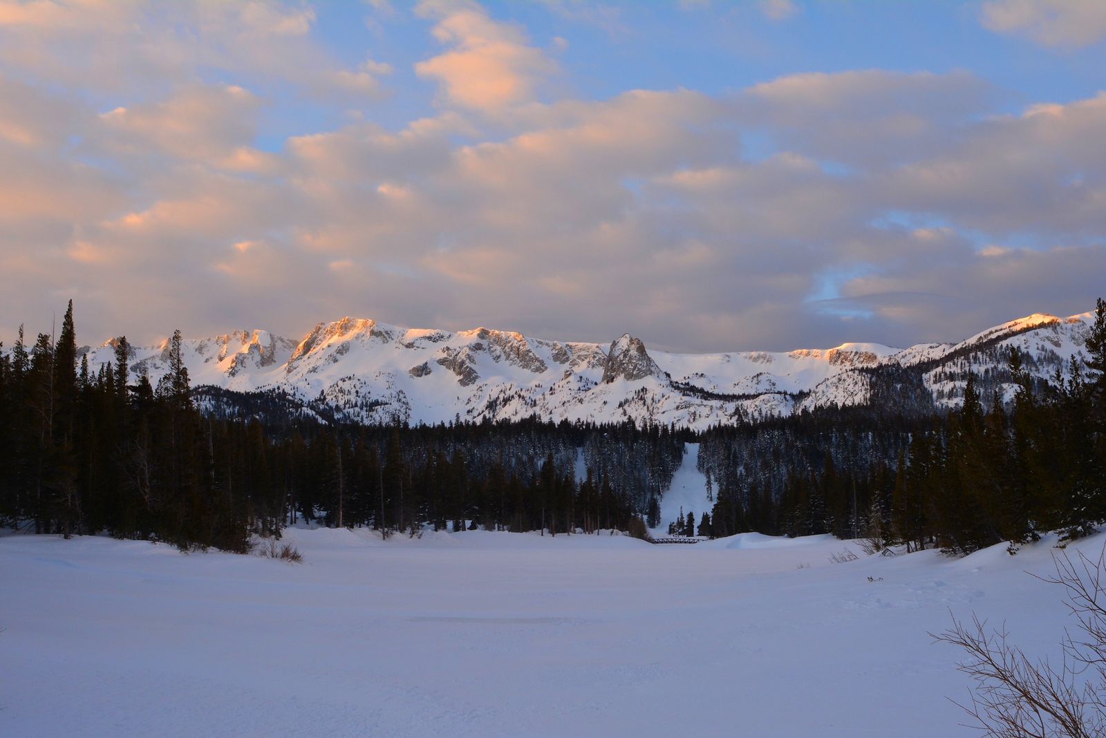
The backdrop does the storytelling for you. Behind the lake rise the Mammoth Crest escarpment and the southern flank of Mammoth Mountain, the volcano whose long history shaped everything you are about to walk past.
Maps and apps label this spot a few different ways, including Horseshoe Lake Mammoth CA, Horseshoe Lake Mammoth Lakes CA, Horseshoe Lake Trailhead, and Horseshoe Lake CO2 Area; they all point to the same parking lot.
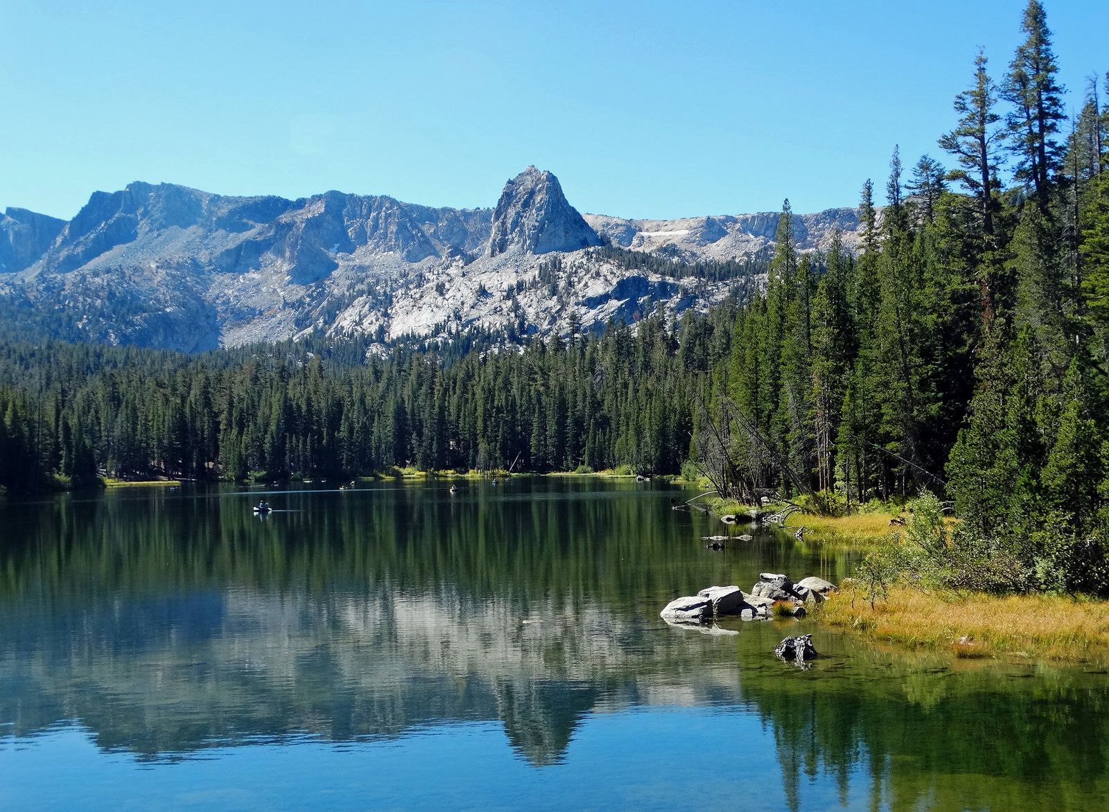
If you want the wider picture of what else is within a short drive, our guide to the best hiking trails near Mammoth Lakes maps out the trail options around town, and the Mono County hiking guide places Mammoth in the larger Eastern Sierra picture.
Getting to Horseshoe Lake: Driving, Parking, and the Free Trolley
By Car
Follow Highway 203 out of town and stay on Lake Mary Road all the way to the end. It is roughly five miles and 1,000 vertical feet from the Village, and you cannot miss the finish because the pavement runs out of places to go. Set your GPS to “Horseshoe Lake Trailhead” or use the coordinates in the table above.
Parking
The paved lot is large, but it does fill on summer weekends. Arrive in the morning, or skip the parking question altogether and take the trolley.
Overnight camping is not part of this day-use site; the Lakes Basin campgrounds at Twin Lakes, Lake Mary, Lake George, and Coldwater handle overnight stays.
Lakes Basin Trolley
The Eastern Sierra Transit Authority runs the Lakes Basin Trolley from Canyon Boulevard across from The Village, up Lake Mary Road, around the Twin Lakes and Lake Mary loops, and out to the Horseshoe Lake parking area.
The ride takes about half an hour end to end. Summer transit in 2026 runs from mid-May through early November, and riders pay nothing on the fixed routes in town.
Trolley times and the start date shift from season to season, so check the Eastern Sierra Transit Lakes Basin Trolley page before you plan around a specific departure.
The Lakes Basin Path
If you have a bike, load it on the trolley trailer, ride up, and coast home. The Lakes Basin Path is a paved multi-use trail of about five miles that follows Lake Mary Road and climbs roughly 1,000 vertical feet from town to the lake.
It even slips through a tunnel beneath a ski run. Downhill riders pick up speed quickly, so keep your hand near the brake. The path is not maintained in winter.
The Horseshoe Lake Loop, Step by Step
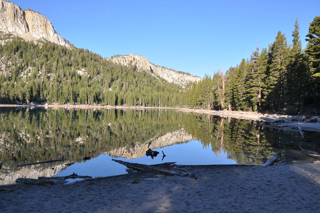
Think of this as a stroll with a soundtrack of wind in the pines. The trailhead sits on the south side of the parking lot. Head down the path with the water on your left, following the western shore.
For about 85 percent of the loop the trail hugs the lakeshore, shaded by pines, with picnic spots tucked along the way. You will step across the streams that feed the lake, and the surface shifts between packed soil and soft sand.
Partway around, the trail bends east, away from the water, and returns along the Lakes Basin Path beside Lake Mary Road. One last stream crossing puts you on the north shore, and a few steps later you are back at the lot.
The Mammoth Lakes Horseshoe Lake loop is flat enough for toddlers and gentle enough for a first hike at altitude. It is also a favorite with trail runners and beginner mountain bikers, so keep an ear open for bells on busy days.
One more detail that surprises first-timers: the lake is not always the same size. In dry years, the feeder streams dwindle over the summer and the lake shrinks, leaving broad stretches of sandy beach behind. Walk the loop in July and again in September and you may think you are looking at two different places.
Trail Options From the Horseshoe Lake Lot
| Route | Approx. Distance | Surface | Best For |
|---|---|---|---|
| Horseshoe Lake Loop | 1.5 miles | Soil and sand | Families, first-time visitors |
| Horseshoe Woods | 0.8 miles | Soil | A short extra stroll through the pines |
| McLeod Lake spur | About 1.2 miles | Soil | A short hike to a higher lake (9,300 feet) |
| Mammoth Pass Trail | About 4 miles | Soil | Hikers who want to leave the lakeshore crowd behind |
| Lakes Basin Path to Lake Mary | 2.1 miles | Paved | Walkers, riders, and anyone wanting to link two lakes |
Distances come from the Mammoth Trails system and local trail guides, and they vary a little depending on where each source starts and stops counting.
The Ghost Forest: Why Horseshoe Lake Has Dead Trees and CO2 Warnings
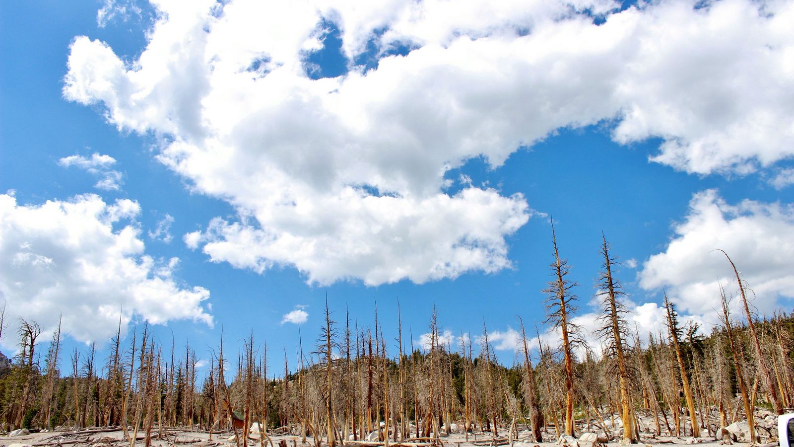
Walk along the north side of the lake and you will see it: acre after acre of pale, bare trunks. The explanation sits deep beneath Mammoth Mountain.
Scientists believe carbon dioxide has collected in a gas reservoir far under the mountain, and that earthquakes and magmatic activity in 1989 opened channels that let the gas rise to the surface.
The U.S. Geological Survey has monitored the seepage ever since. Roots cannot survive in soil that is saturated with CO2, so the trees died, roughly 120 acres of them around Horseshoe Lake and elsewhere on the mountain.
Here is the part you need to remember. CO2 is heavier than air, so it settles into depressions and enclosed spaces, which makes it most hazardous to small children and pets.
One survey in 1999 recorded concentrations as high as 60 percent inside tree wells in the dead zone, compared with the roughly 0.04 percent found in ordinary air.
Plenty of people loop the lake each summer without incident because the marked trail and the beach are the intended use areas. A few habits keep it that way:
- Stay on the marked trail and follow the posted CO2 signs.
- Do not dig holes or lie in hollows near the dead trees, and keep kids and dogs from doing the same.
- In winter, stay out of snow-covered cabins, tree wells, and enclosed pockets near the lake.
- If you feel dizzy, short of breath, or unusually sleepy, walk to higher open ground and leave the area.
The Forest Service explains the hazard in detail on its Horseshoe Lake CO2 Area page, which also lists current hours and access.
Swimming, Dogs, Fishing, and Other Things to Do
Swimming and Paddling
Horseshoe Lake is the only lake in the Lakes Basin where swimming is allowed, which is why the shoreline fills up on hot afternoons.
The water stays cold at nearly 9,000 feet, and no lifeguard is posted here, so treat it as a quick dip rather than a long swim. Stand-up paddleboarders also use the lake in summer.
If you like the idea of pairing a hike with a cool-down, our guide to swimhiking trails in California lists other routes that end at a swimming hole.
Dogs
Dogs are welcome, and the wide, sandy shore makes this one of the better dog-friendly walks in the basin. The Forest Service requires leashes in developed recreation sites, and the CO2 warning applies doubly to dogs because they walk close to the ground. For general etiquette and gear, see our guide to hiking with dogs in California.
Fishing
Fishing is allowed at Horseshoe Lake, and you will need a California fishing license. Check the current California Department of Fish and Wildlife regulations before you cast, because rules for individual waters change.
Biking and Climbing
The loop works for beginner mountain bikers, and the Lakes Basin Path gives road riders a paved route to the lake. Climbers head to the granite near the lot, including Horseshoe Slabs and Sunshine Wall.
Picnicking
A picnic area sits beside the lake, and the shaded shoreline offers plenty of other spots. Pack out everything you carry in, and store food in your vehicle, since black bears live in the basin.
Lake George Mammoth: The Neighbor People Mix Up With Horseshoe Lake
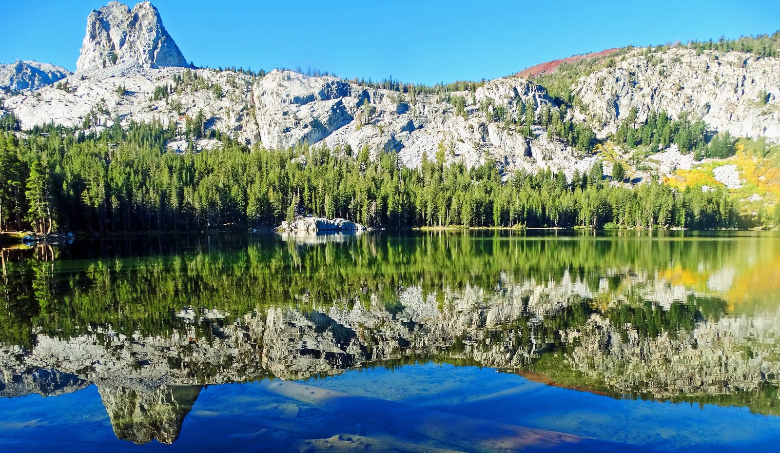
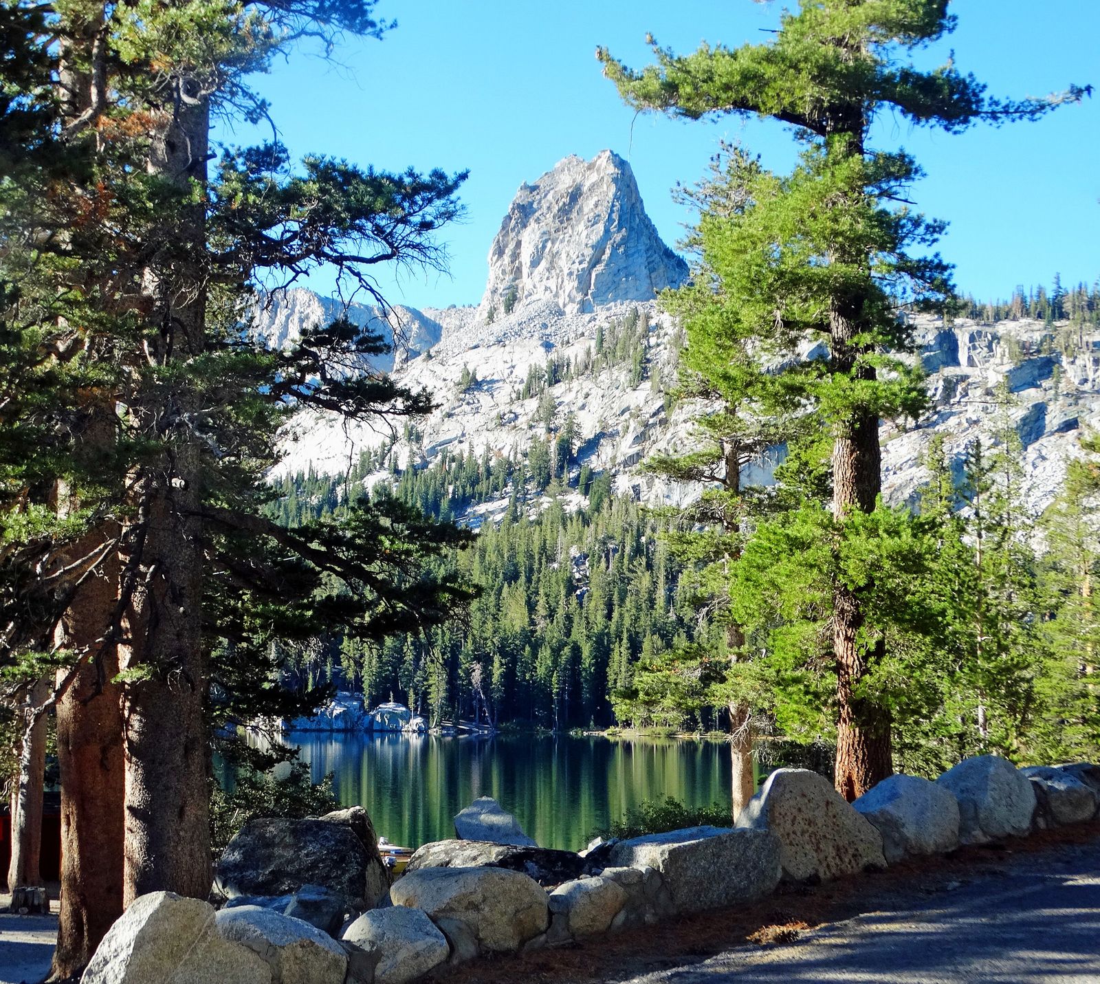
Search for Lake George Mammoth and you will land on a different lake with its own trailhead. Lake George sits at roughly 9,000 feet on the Lake Mary Loop, a short drive or under ten minutes by trolley back down the road from Horseshoe Lake. It has a campground, lodge cabins, and a parking area that fills early in summer.
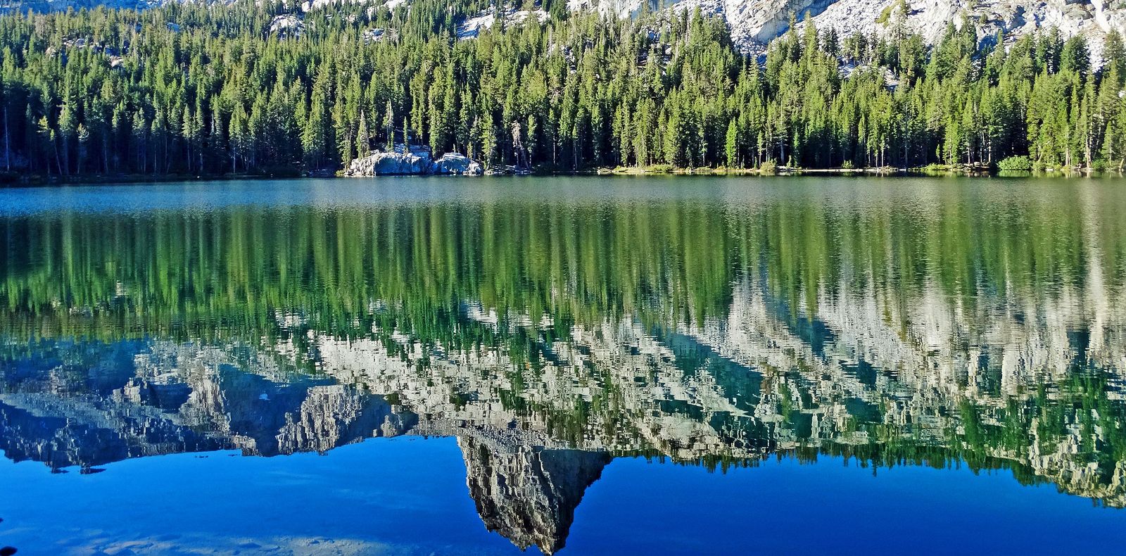
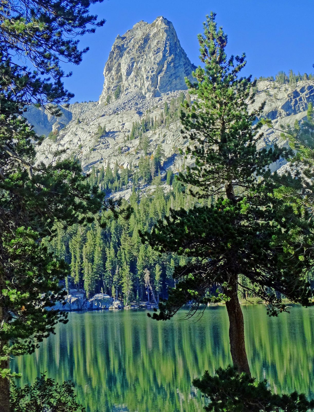
The main draw is the Crystal Lake Trail, which starts near the campground and climbs to a lake at the foot of Crystal Crag, a granite tower that tops out around 10,400 feet.
Expect about three miles round trip with roughly 800 feet of climbing, which makes it short but steep. The trail splits less than two miles in, with one branch to Crystal Lake and the other toward the Mammoth Crest.
Between the two, I would do Horseshoe Lake first for an easy acclimatization walk and swim, then save Lake George for another morning when your lungs have adjusted.
The Lakes of the Mammoth Lakes Basin
| Lake | Approx. Elevation | What It Is Known For |
|---|---|---|
| Twin Lakes | 8,540 ft | Road access to the lower basin; Twin Falls |
| Lake Mamie | 8,900 ft | Roadside fishing stop between Lake Mary and Horseshoe |
| Lake Mary | 8,920 ft | Largest lake in the basin; marinas and a campground |
| Horseshoe Lake | 8,950 ft | Easy loop, swimming, and the CO2 ghost forest |
| Lake George | 9,010 ft | Campground and the Crystal Lake Trail |
| McLeod Lake | 9,300 ft | Short hike from Horseshoe Lake |
When to Visit Horseshoe Lake
| Season | What to Expect |
|---|---|
| Late spring | Lake Mary Road opens once snow clears: May 2 in 2026 and May 23 in 2025. Campgrounds can open later, and snow may linger in the lot and on the trail. |
| Summer | Peak season: trolley service, swimming weather, and full parking lots by midday. Mornings are quieter. |
| Early fall | Fewer people and cooler air, though early storms can arrive. Check conditions before you drive up. |
| Winter | Lake Mary Road closes to vehicles, typically from around November through April. Reach the lake on skis or snowshoes. |
Because the road gate and campground openings depend on snowpack, confirm current conditions with the Inyo National Forest or the Town of Mammoth Lakes before you go.
Our guide on how to check California hiking trail closures walks through where to look, and if winter is your plan, snowshoeing versus winter hiking explains how the two differ on snow.
Altitude and Packing Notes
At roughly 8,950 feet, the air carries noticeably less oxygen than the coast, and first-day headaches are common. Spend a night or two in town, drink water steadily, and keep the first hike easy; our overview of high-elevation hiking in the Sierra Nevada covers acclimatization in more depth.
Pack sun protection, an extra layer for breezy evenings, a swim towel, a leash for your dog, and snacks, because supplies in the basin are limited to the stores clustered around Twin Lakes and Lake Mary.
Where to Go After Horseshoe Lake
If the loop leaves you wanting more lake time, three directions make sense:
- Another Eastern Sierra lake: The Convict Lake and Rock Creek guide covers a larger lake with a full shoreline trail, a short drive down Highway 395.
- Higher country: For longer days above 9,000 feet, browse these high-altitude hikes in the Eastern Sierra.
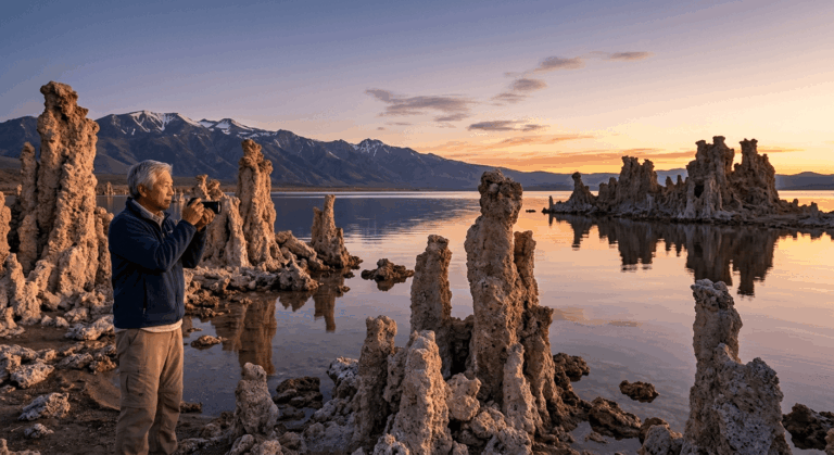
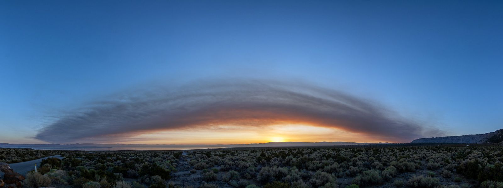
- A very different shoreline: Mono Lake offers tufa towers and open desert light, a sharp contrast with the pine-lined Lakes Basin.
Final Thoughts
Horseshoe Lake rewards a slow lap. Walk the sandy shore, look at the ghost forest and remember what lies beneath it, take a cold dip if the afternoon is warm, and head home with the sunset on Mammoth Crest. Respect the gas, arrive early on summer weekends, and let the trolley handle the parking.
Frequently Asked Questions
Is Horseshoe Lake in Mammoth safe to visit with the CO2?
Yes, if you stay on the marked trail and respect the posted signs. The hazard is concentrated in low, enclosed spots where the gas can pool, so avoid hollows, tree wells, and snow-covered structures, and keep children and pets close. The Forest Service monitors the area and publishes safety information on its Horseshoe Lake CO2 Area page.
Can you swim in Horseshoe Lake?
Yes. It is the only lake in the Mammoth Lakes Basin open to swimming. The water is cold and no lifeguard is on duty, so swim near the shore and keep a close eye on children.
How long is the Horseshoe Lake loop, and how hard is it?
The loop is about 1.5 miles and mostly flat, with soft sand in places. Most visitors finish in under an hour, and it is rated easy, though the elevation of roughly 8,950 feet can make the first day feel harder than the distance suggests.
Is there a fee or permit for Horseshoe Lake?
The Forest Service lists no fee for the site. It is day use only, open from 6:00 a.m. to 10:00 p.m., so plan to sleep in one of the Lakes Basin campgrounds or in town.
Are dogs allowed at Horseshoe Lake?
Yes, on a leash. Dogs enjoy the sandy shore and the loop, but the CO2 caution applies to them too, so keep them out of hollows and low pockets near the dead trees.
When does Lake Mary Road open, and can you visit Horseshoe Lake in winter?
Lake Mary Road opens to vehicles after the snow clears, which happened on May 2 in 2026 and May 23 in 2025. In winter the road is closed to cars, and you can reach Horseshoe Lake only on skis or snowshoes. Confirm the current gate status with the Inyo National Forest before you drive up.